Available now · Imperial County · En español
Oasis 80
Call for offers · Written offers due Sat., Dec. 5, 5 pm PT
- No asking price
- Offers invited
- Written offers due
- Sat., Dec. 5, 5 pm PT
- Terms
- Cash or your own lender
- To close, usually
- 10–14 days
80.2 acres, · Imperial County, California, · Native California fan palms, · APN 026-070-007-000
See it for yourself
The film, the photos, the records and the boundary.
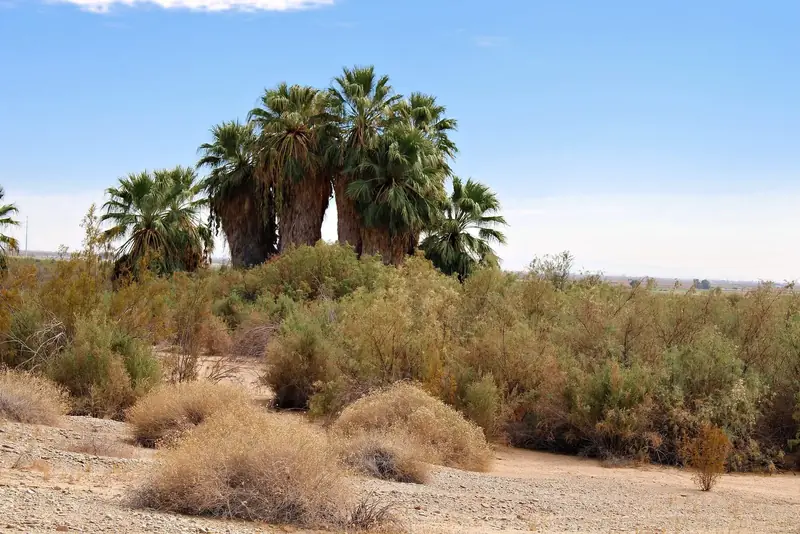
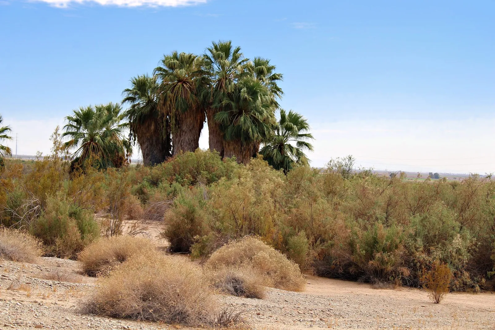
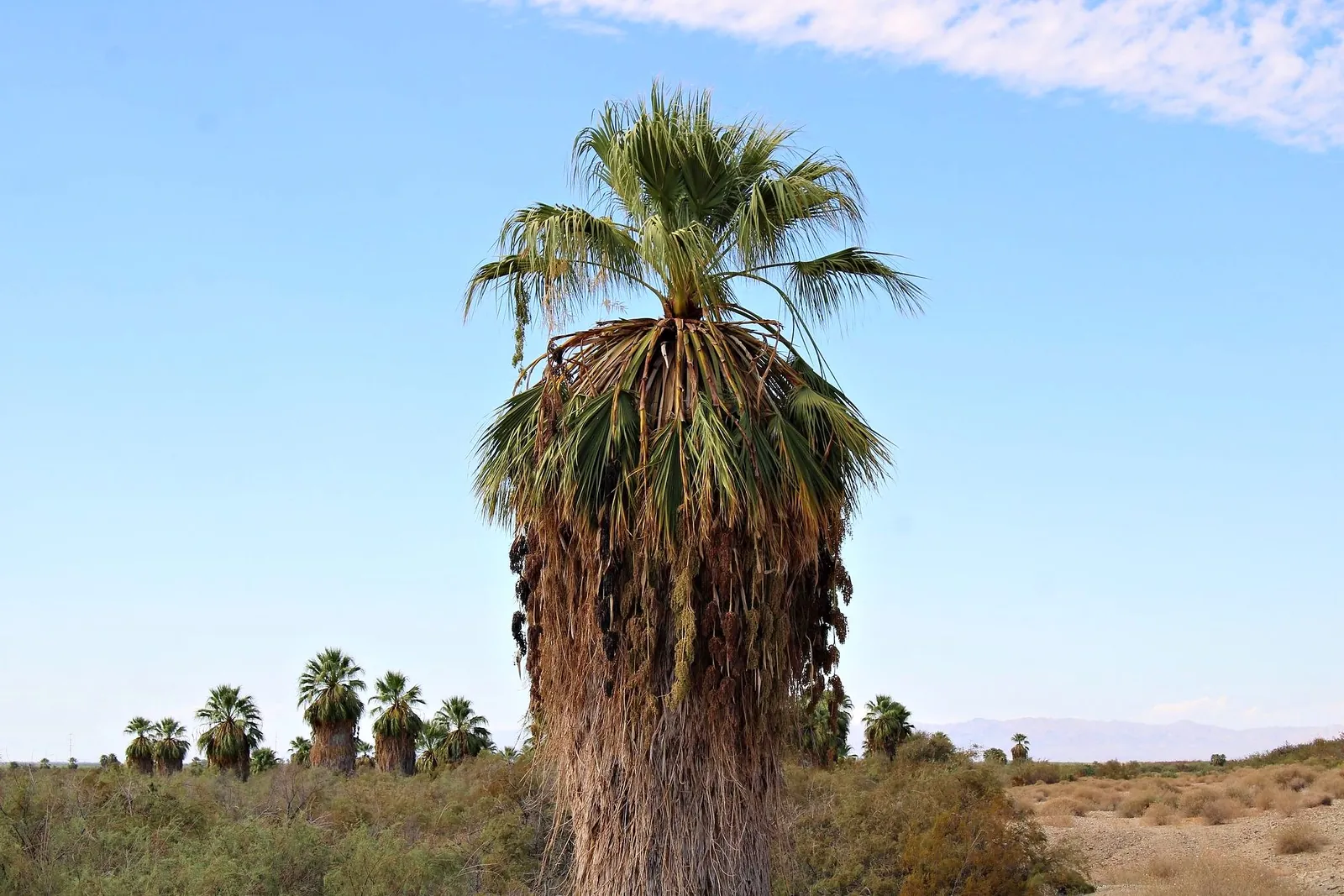
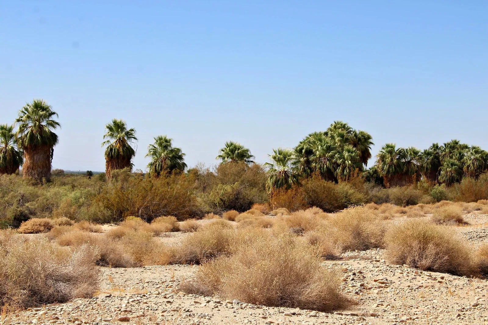
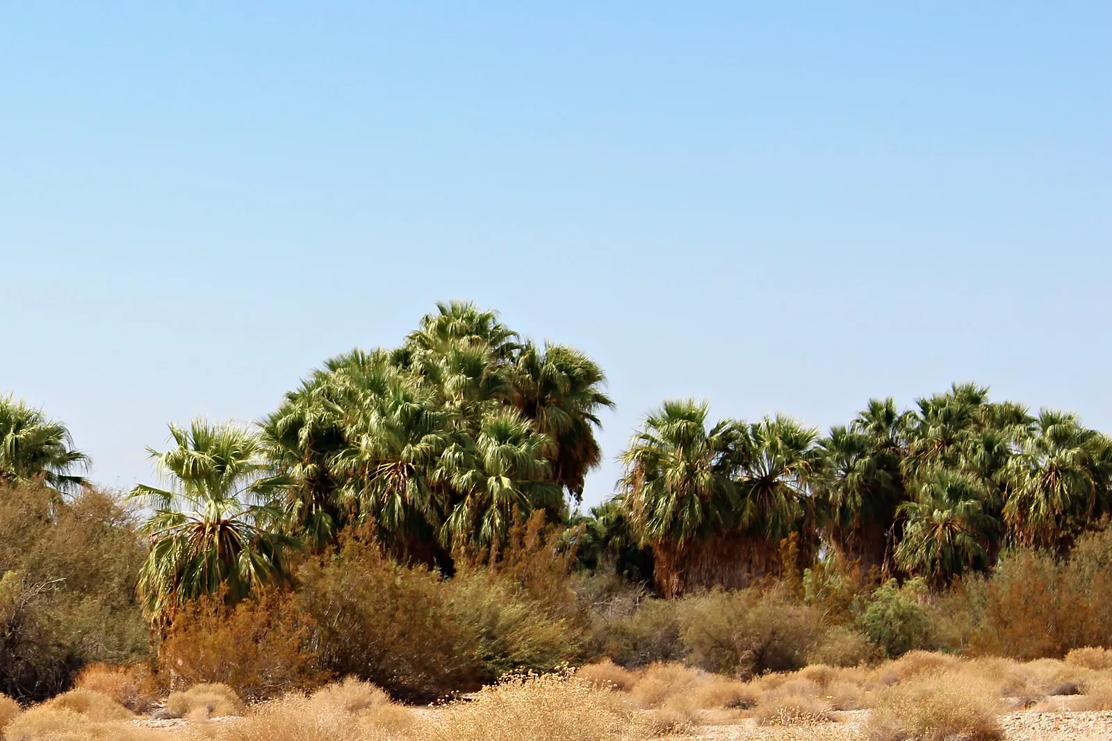
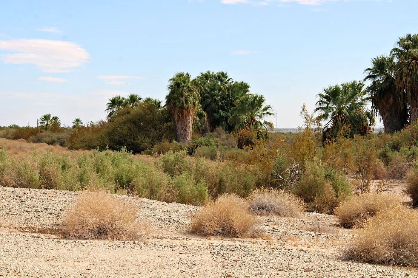
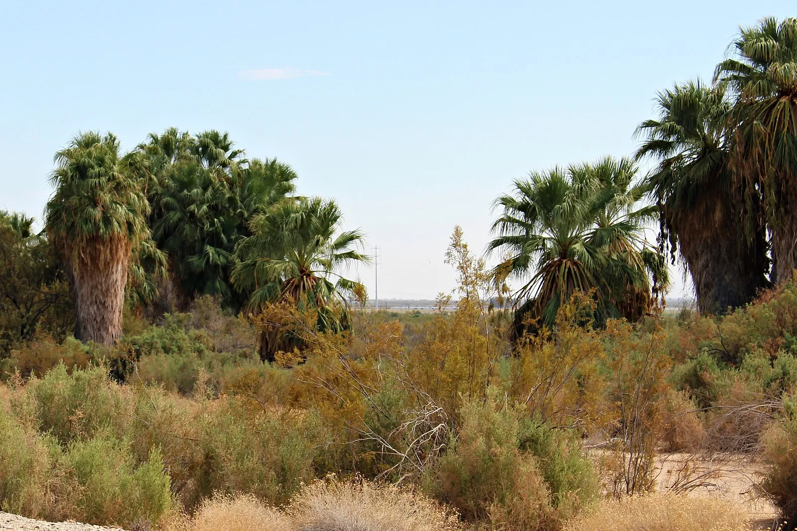
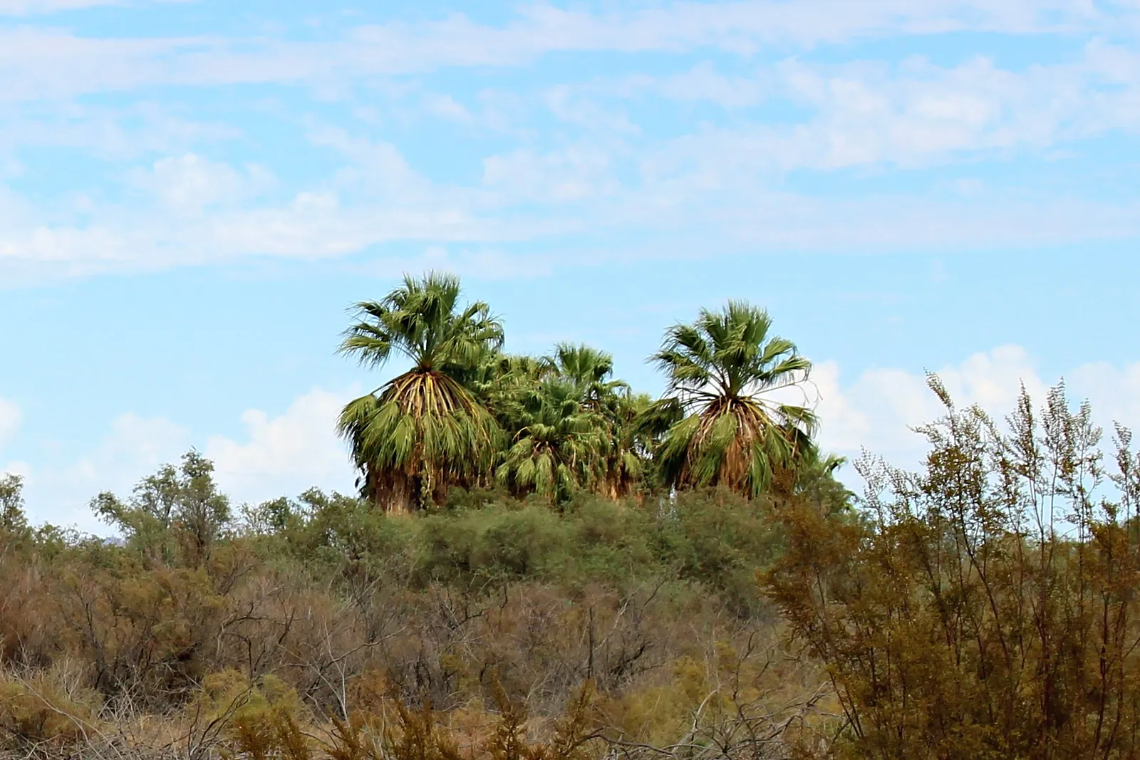
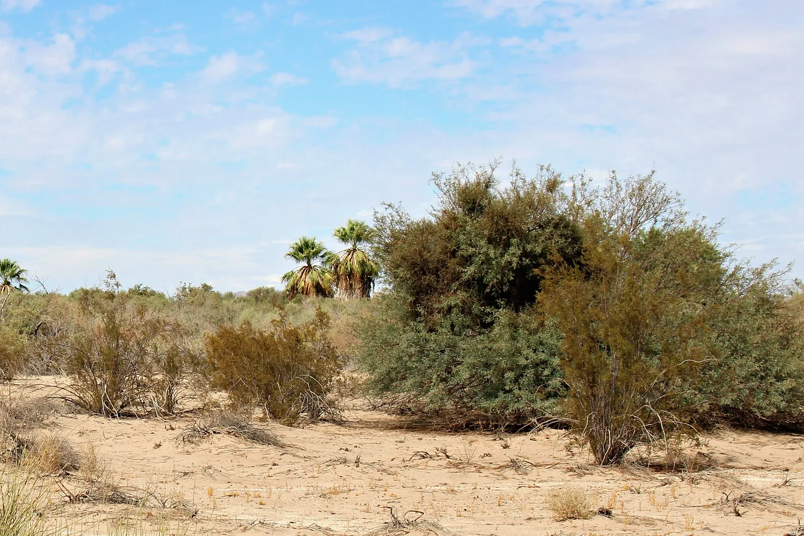
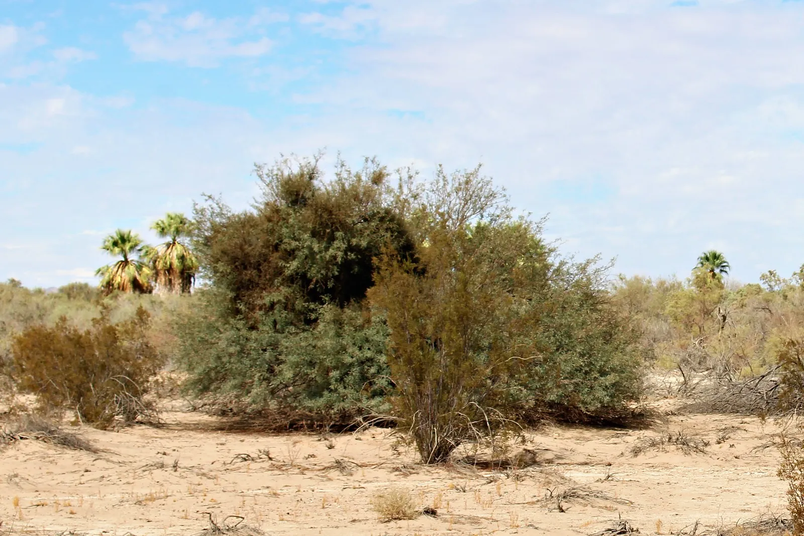
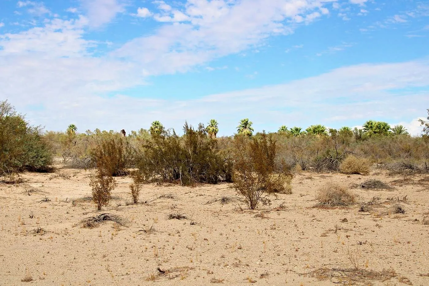
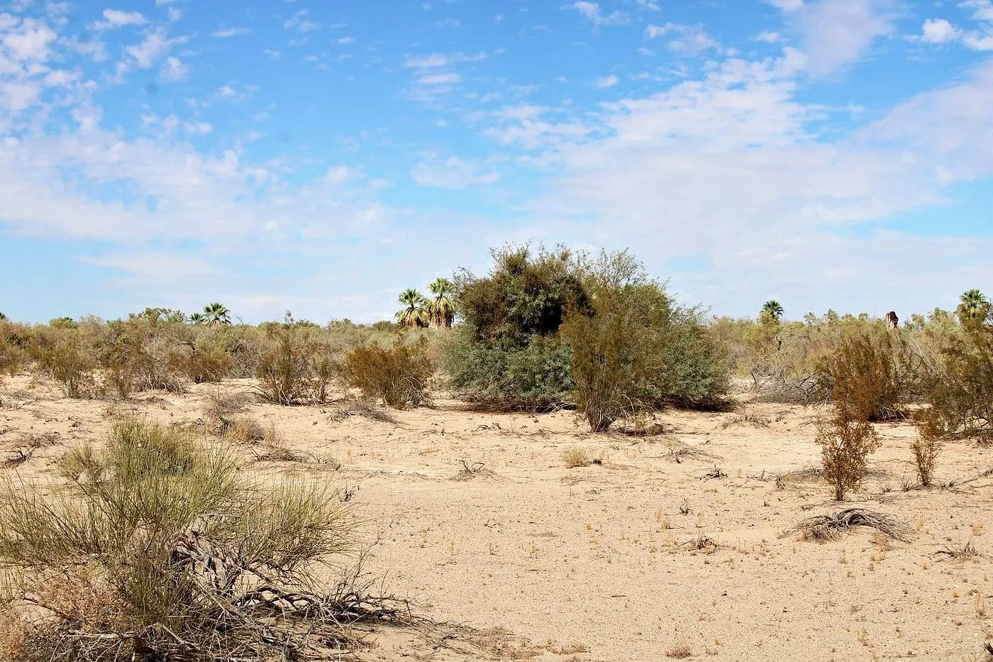
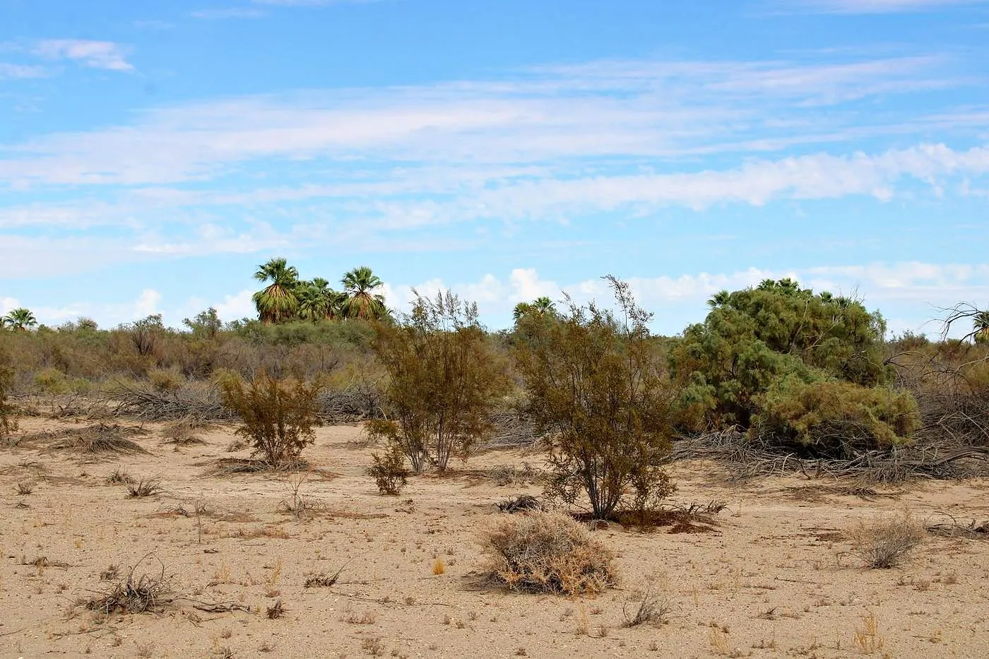
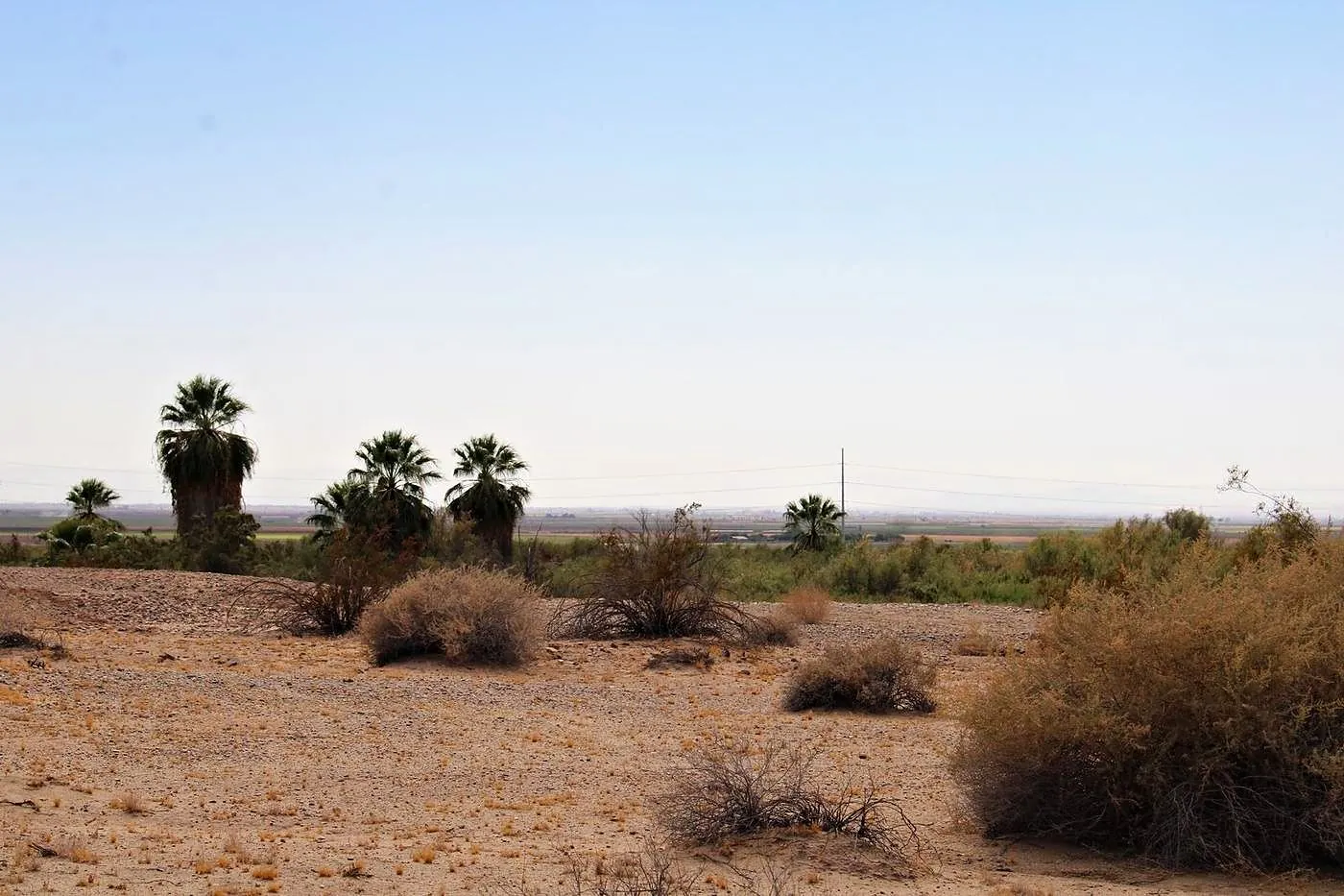
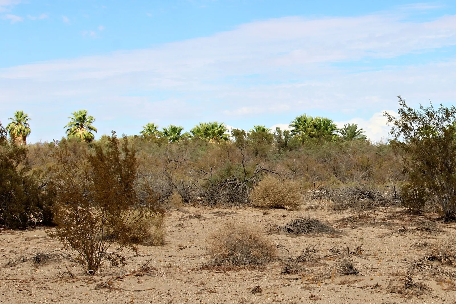
Past the orchards east of Calipatria, a line of native fan palms rises out of the desert. Eighty acres of it are for sale.
- 01The filmThe drone film of the land
- 02The photos24 photos of the land
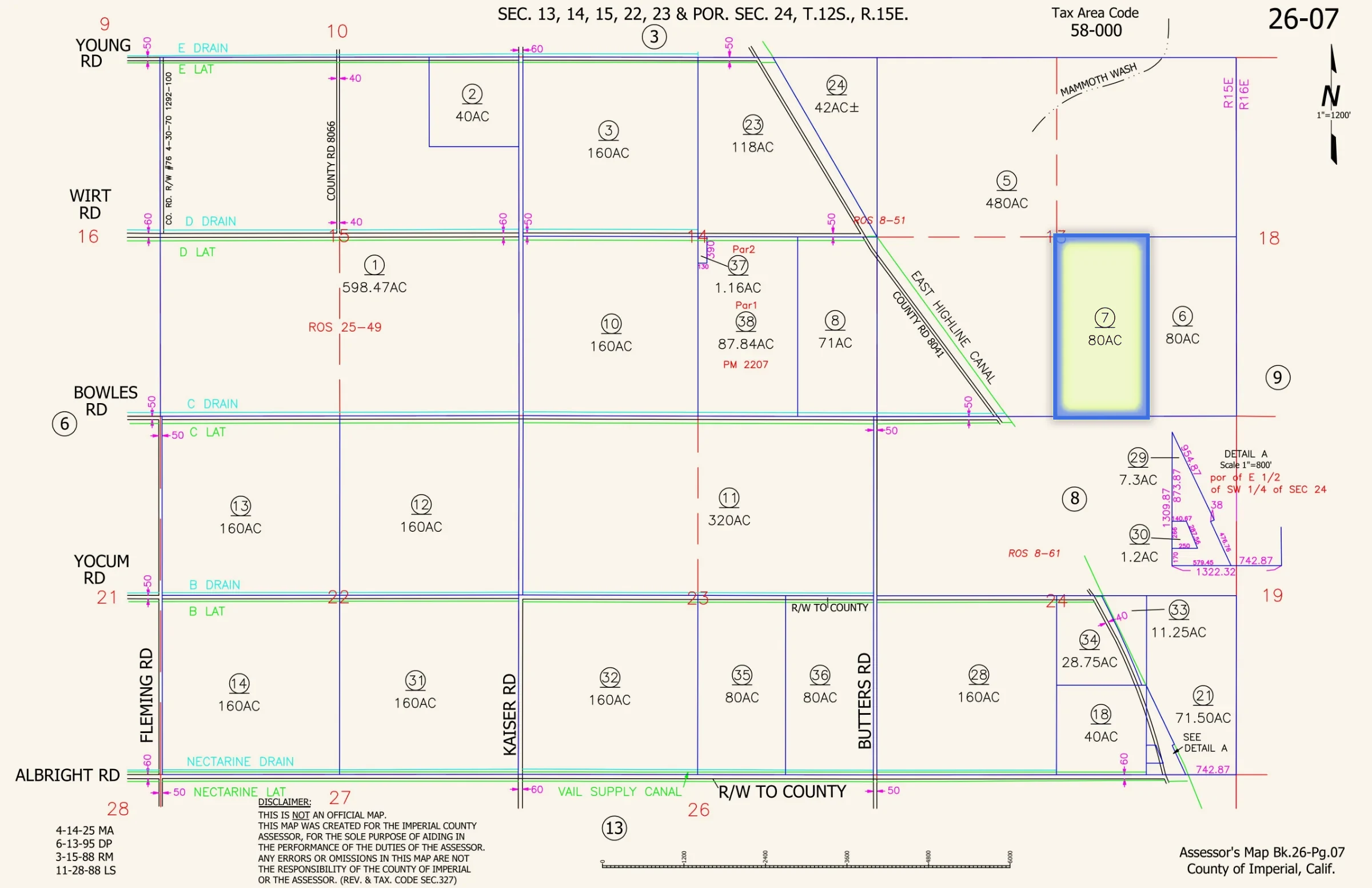
- 03The recordsPlat map, title notes, public records
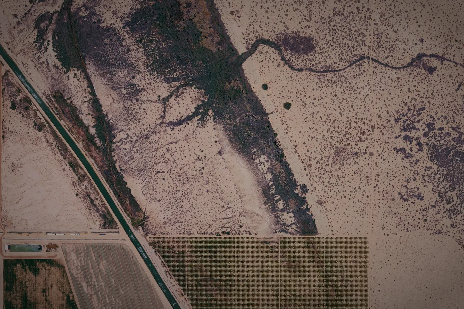
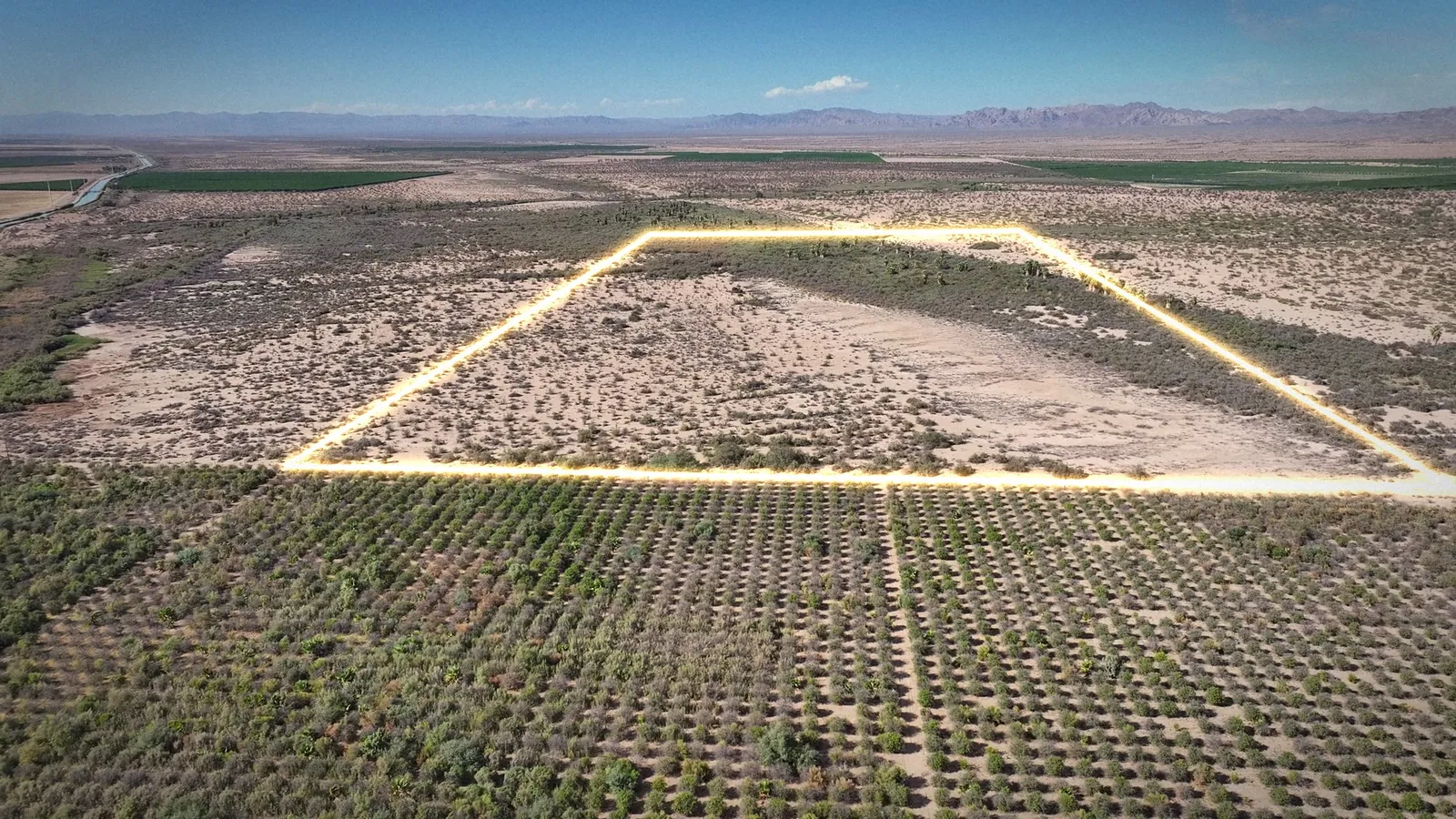
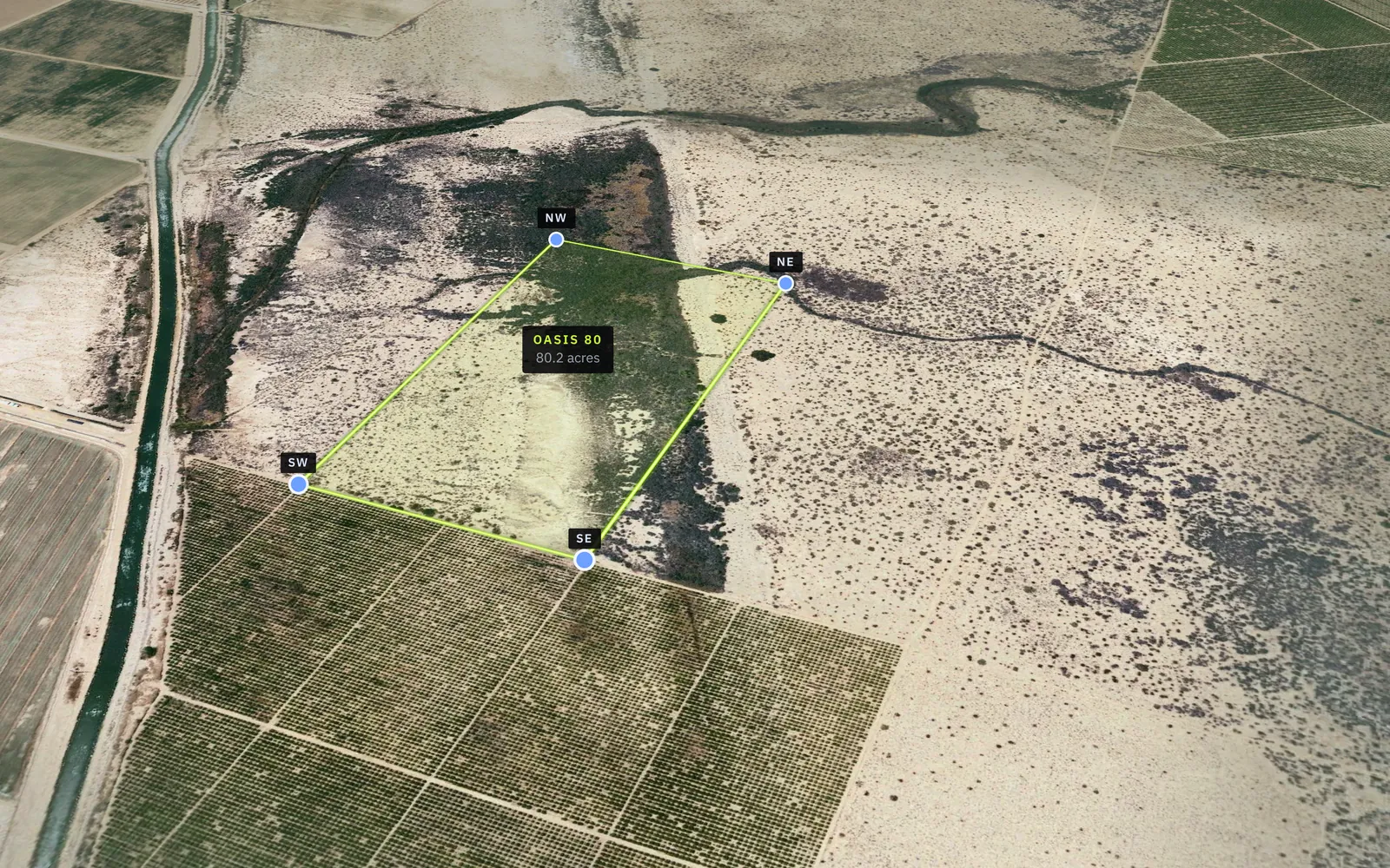
- Lime line: the boundary, about ¼ by ½ mile
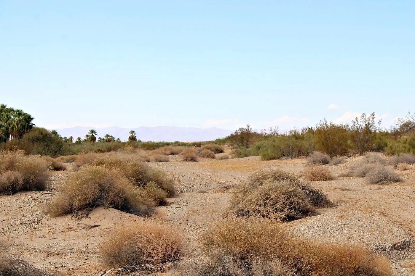
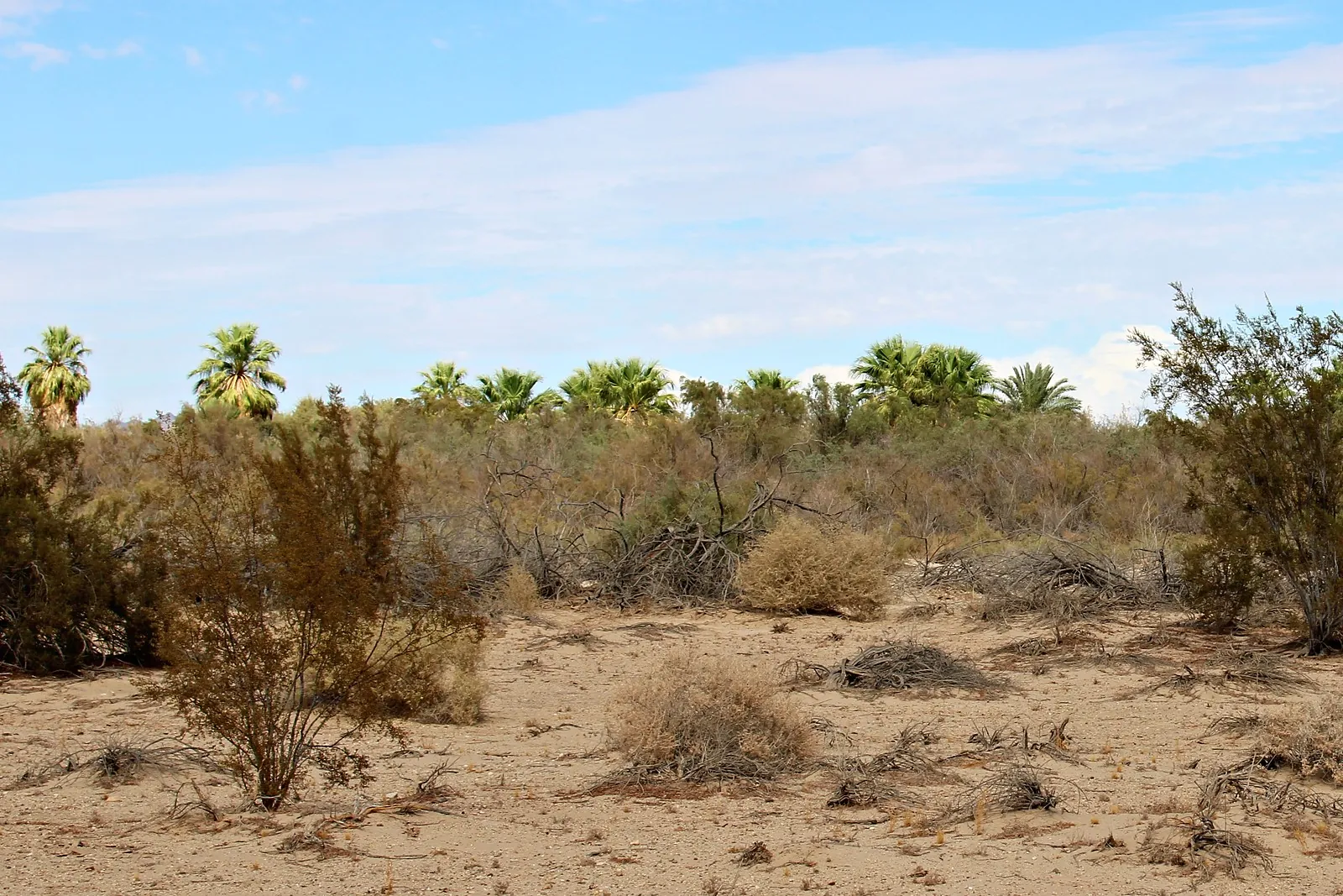
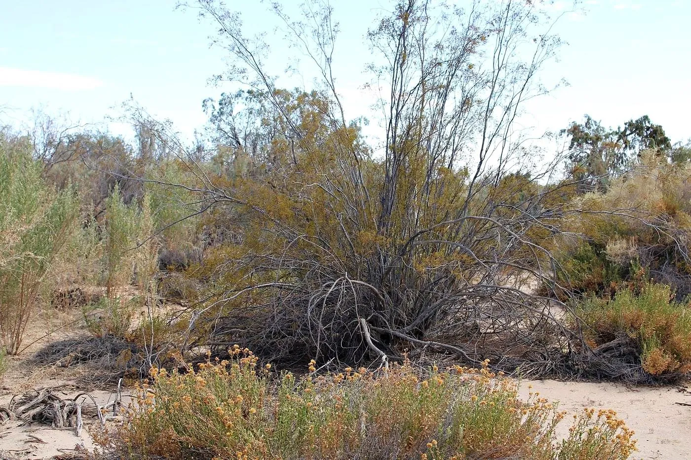
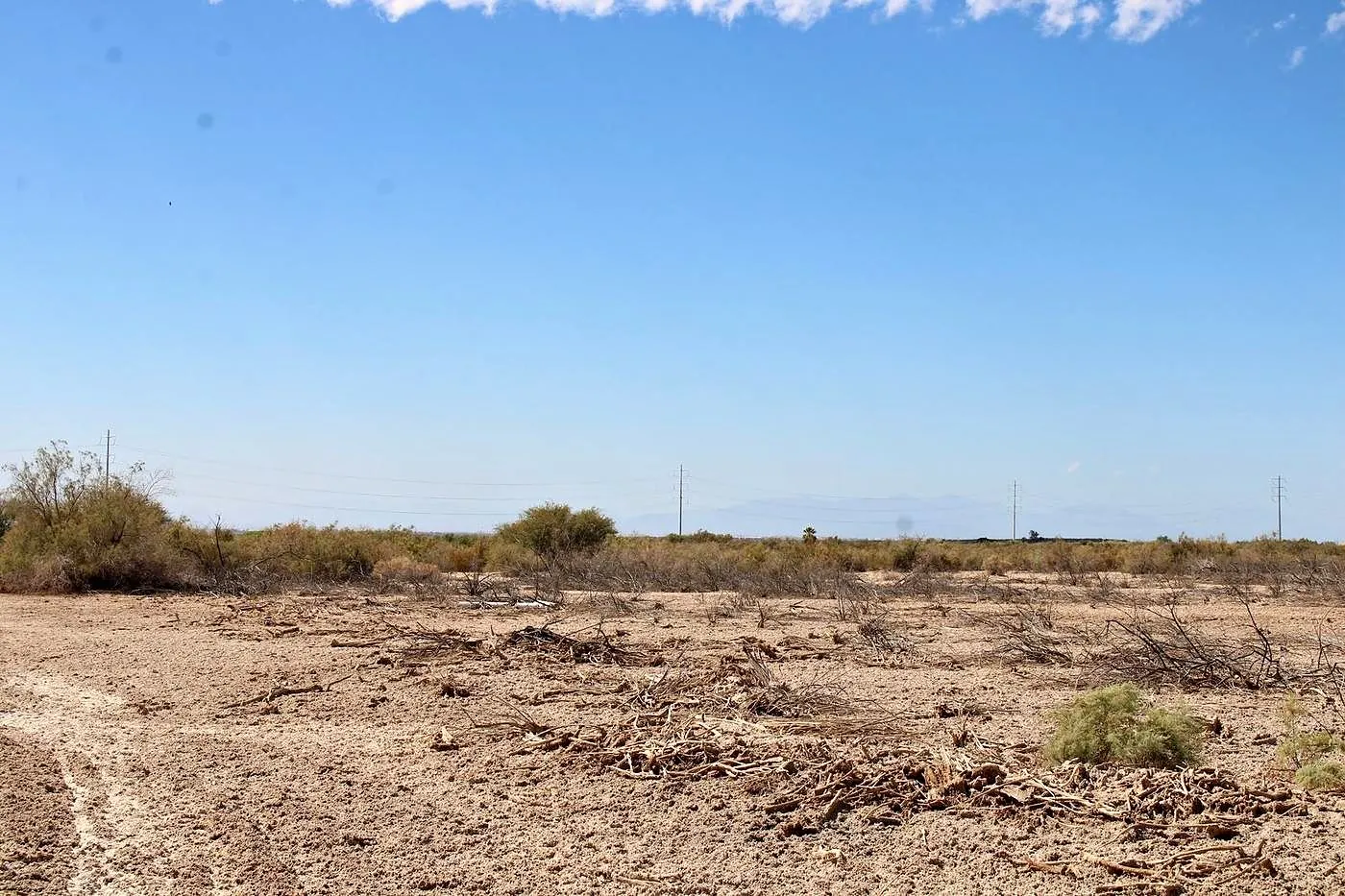
- The dark band: fan palm woodland, running northwest to southeast, with open desert ground on the west side
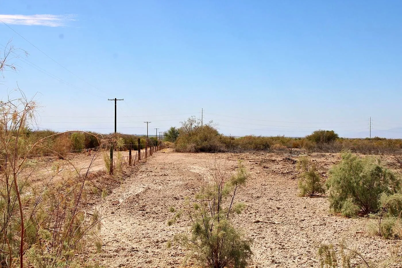
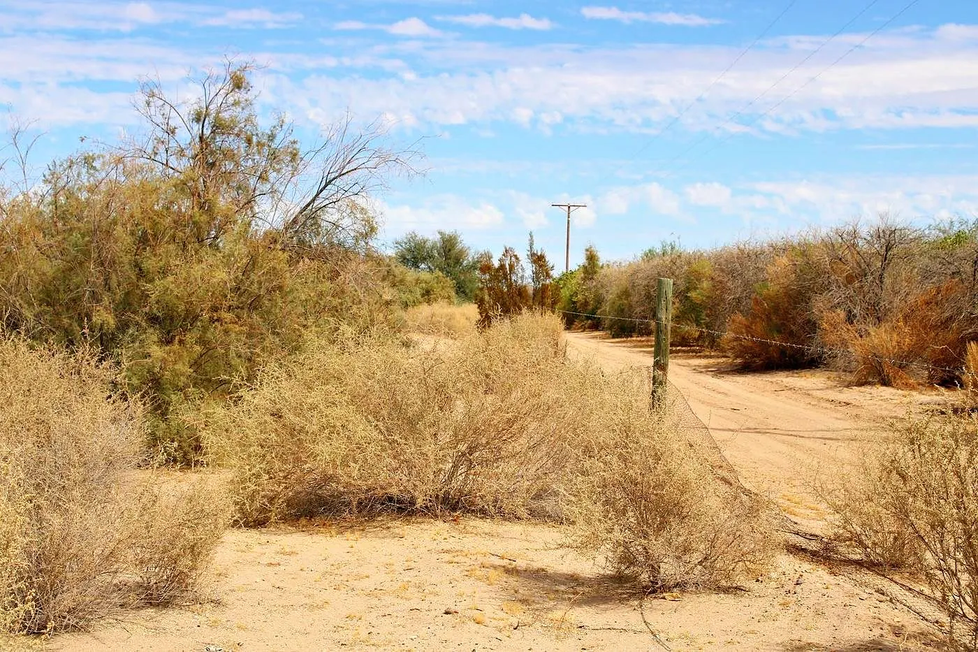
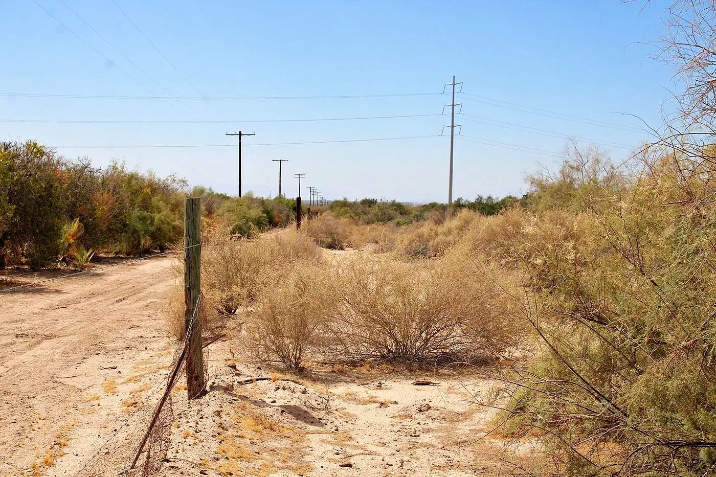
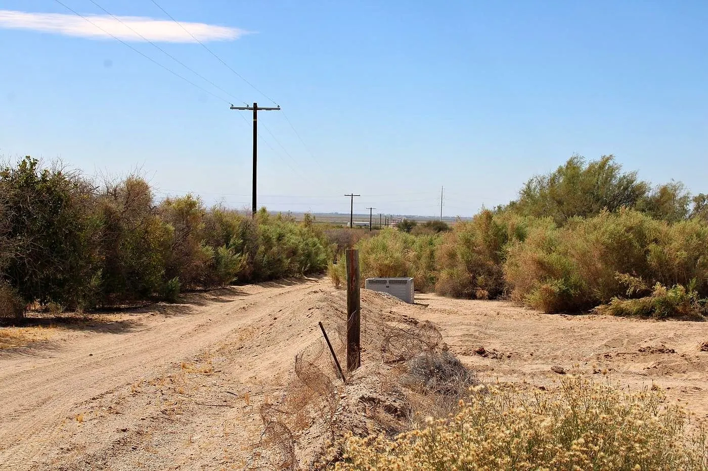
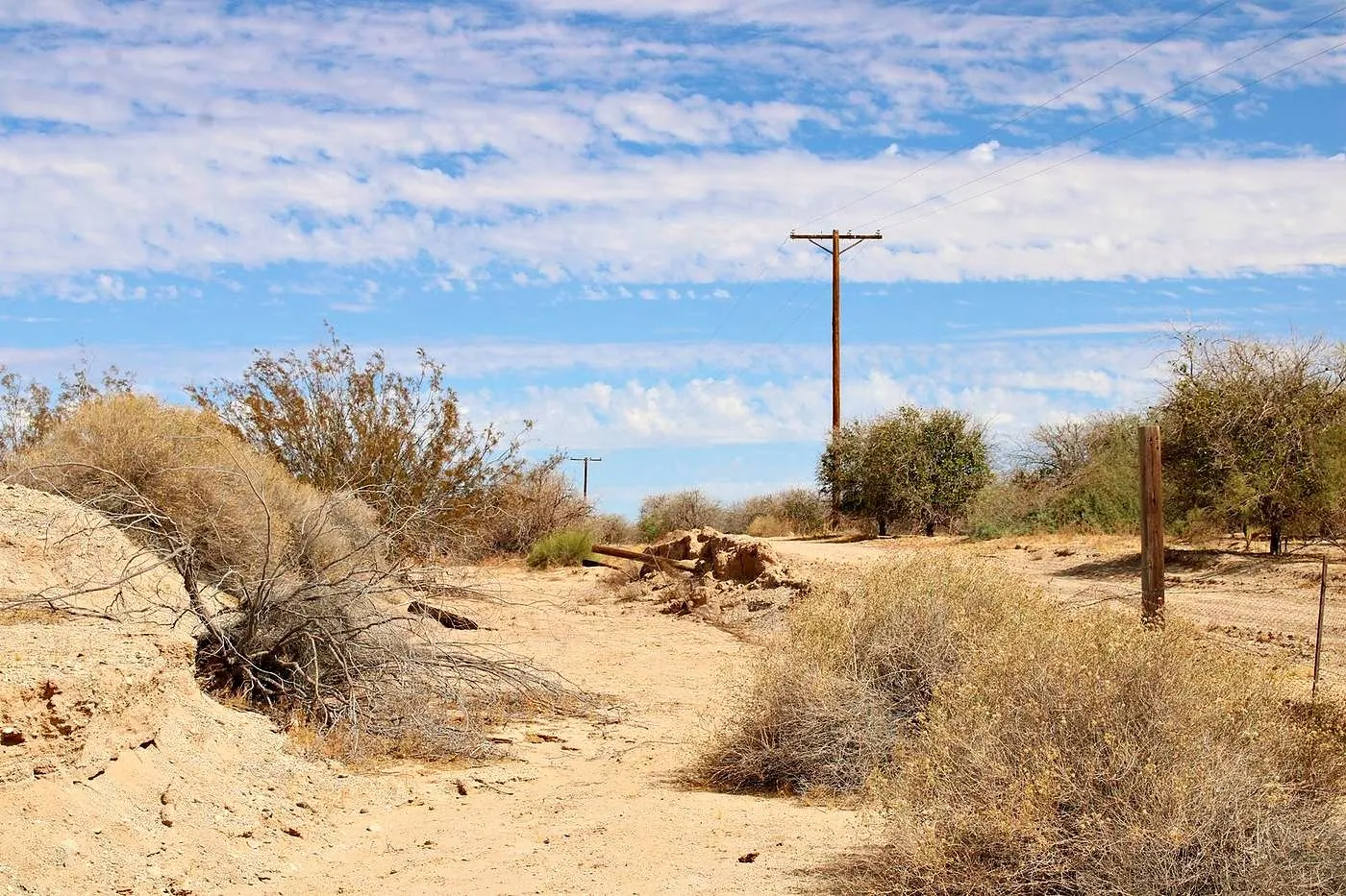
- Along the south line: a dirt road, and a neighbor’s orchard beyond it that is not part of the sale
The records
Title and boundary notes
From the preliminary title report by Stewart Title of California, dated July 30, 2026, when we bought it.
- Seller of record
- Raw Land Holdings, LLC
- APN
- 026-070-007-000
- Property taxes, 2025–26
- $97.12 for the yearPaid
- Legal description
- 80.00 acres, more or less
- GIS boundary
- About 80.2 acres
- Survey
- None. Neither figure is a survey.
- Title report
- Stewart Title of California, July 30, 2026
The records
The title, step by step
- 1908
Federal land patent
The title report lists the standard reservations from the 1908 federal land patent.
- July 30, 2026
Preliminary title report
By Stewart Title of California, when we bought it. Seller of record: Raw Land Holdings, LLC.
- Your purchase
A fresh title report
Escrow orders a fresh preliminary title report for your purchase. It lists any liens, easements and exceptions before you close.
- Closing
The deed records in your name
Your owner’s title insurance backs it.
From public records
Flood, slope, fire, faults and climate.
Checked against public maps and records in November 2026.
Flood
Outside the mapped flood areas
FEMA’s flood map puts the whole parcel in Zone X, an area of minimal flood hazard. The nearest mapped Zone A areas, the 1-in-100-year floodplain, are about a third of a mile northwest of the parcel and a little over half a mile east. Imperial County’s current flood map took effect Sept. 26, 2008. FEMA flood map for this spot →
FEMA National Flood Hazard Layer, checked November 2026 · Imperial County flood maps, effective Sept. 26, 2008
Elevation & slope
A gentle slope: about a 2.5% grade
About 19 ft above sea level at the center. The ground rises gently toward the northeast, about 48 ft from the southwest corner to the northeast corner, an average grade of about 2.5%. A few small washes cross the north end. Over a 100-ft building pad, that’s 2 to 3 ft of fall to level.
USGS 3D Elevation Program, 1-meter lidar (2021)
Wildfire
Not in a mapped fire hazard zone
CAL FIRE maps the whole parcel as a Federal Responsibility Area, where federal agencies have primary responsibility for wildfire protection, so the State Fire Marshal’s fire hazard maps, which cover state and local areas, don’t rate it. The neighboring land on the west and south is rated Moderate, the lowest of three classes (Moderate, High, Very High). The nearest fire station, in Calipatria, is about 9 miles away by road.
CAL FIRE, Responsibility Areas · State Fire Marshal, Fire Hazard Severity Zones, Local Responsibility Area map (March 24, 2025)
Earthquake faults
Not in an earthquake fault zone
The parcel is outside California’s Alquist-Priolo Earthquake Fault Zones; the nearest zone, along the Brawley fault, is about 14 miles southwest. The Imperial fault, one of the state’s major active faults, runs about 16 miles southwest, and the USGS maps smaller unnamed faults about 4 miles southeast. Like all of Southern California, this is earthquake country.
California Geological Survey, Alquist-Priolo fault traces · USGS Quaternary Fault and Fold Database
Getting there
Gas and groceries about 9 miles away
Out the dirt road on the south line, then Bowles and Wiest Roads into Calipatria, about 9 miles, for gas, a grocery store, a fire station and a small airport. Brawley, about 21 miles, has more stores and the nearest emergency room, at Pioneers Memorial Hospital. Distances are by road.
Routes: OSRM on OpenStreetMap data · Places: OpenStreetMap (Nov. 2026)
Climate
Hot and dry: about 2.4 inches of rain a year
Summer highs average 108°F in July and August, with about 120 days a year at 100°F or more. Winters are mild: December and January lows average about 41°F, with frost about six nights a year. Most of the rain falls from November through March. From the nearest full weather station, in Brawley, about 16 miles southwest.
NOAA NCEI 1991–2020 Climate Normals, station USC00041048 (Brawley 2 SW)
Walk It · 3D flyover
See the lines from here, then walk them on the land.
On a computer? Scan this with your phone to open Walk It.
013D flyover
Circle the land from above with the whole boundary drawn in and a pin at each corner. Turn it, tilt it and zoom in. It works on any phone or computer.
02Walk It
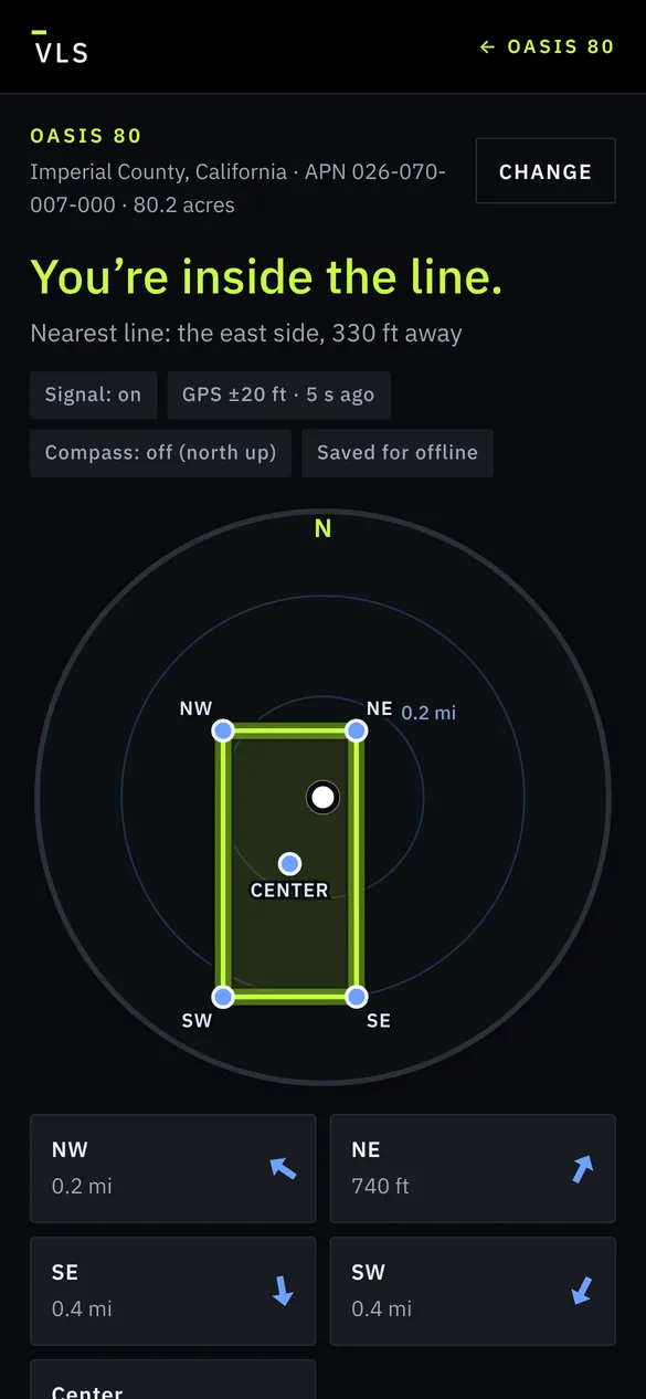
Open it on your phone when you’re at the land. It shows where you are against the lines, tells you when you’re inside, and points you to each corner. Tap Camera view and the boundary is drawn on the ground in front of you, with each corner marked.
Save it before the trip and it works with no signal. Your location stays on your phone. Not a survey.
GPS corners
From the GIS boundary, not a survey. Paste a point into Google Maps or any GPS app to walk the corners.
- Northwest corner
33.125695, -115.363366Open in Maps → - Northeast corner
33.125697, -115.359048Open in Maps → - Southeast corner
33.118441, -115.359044Open in Maps → - Southwest corner
33.118437, -115.363366Open in Maps → - Center
33.122067, -115.361206Open in Maps →
The land
Oasis 80 at a glance
- Size
- 80.2acres
- From the GIS boundary; the title report says 80.00 acres.
- Shape
- ¼ × ½mile
- A rectangle about 1,320 by 2,640 ft.
- Where
- 9miles
- East of Calipatria, where the Imperial Valley’s farm belt meets open desert.
- Elevation
- 19ft
- About 19 ft above sea level.
- On site
- Native fan palms
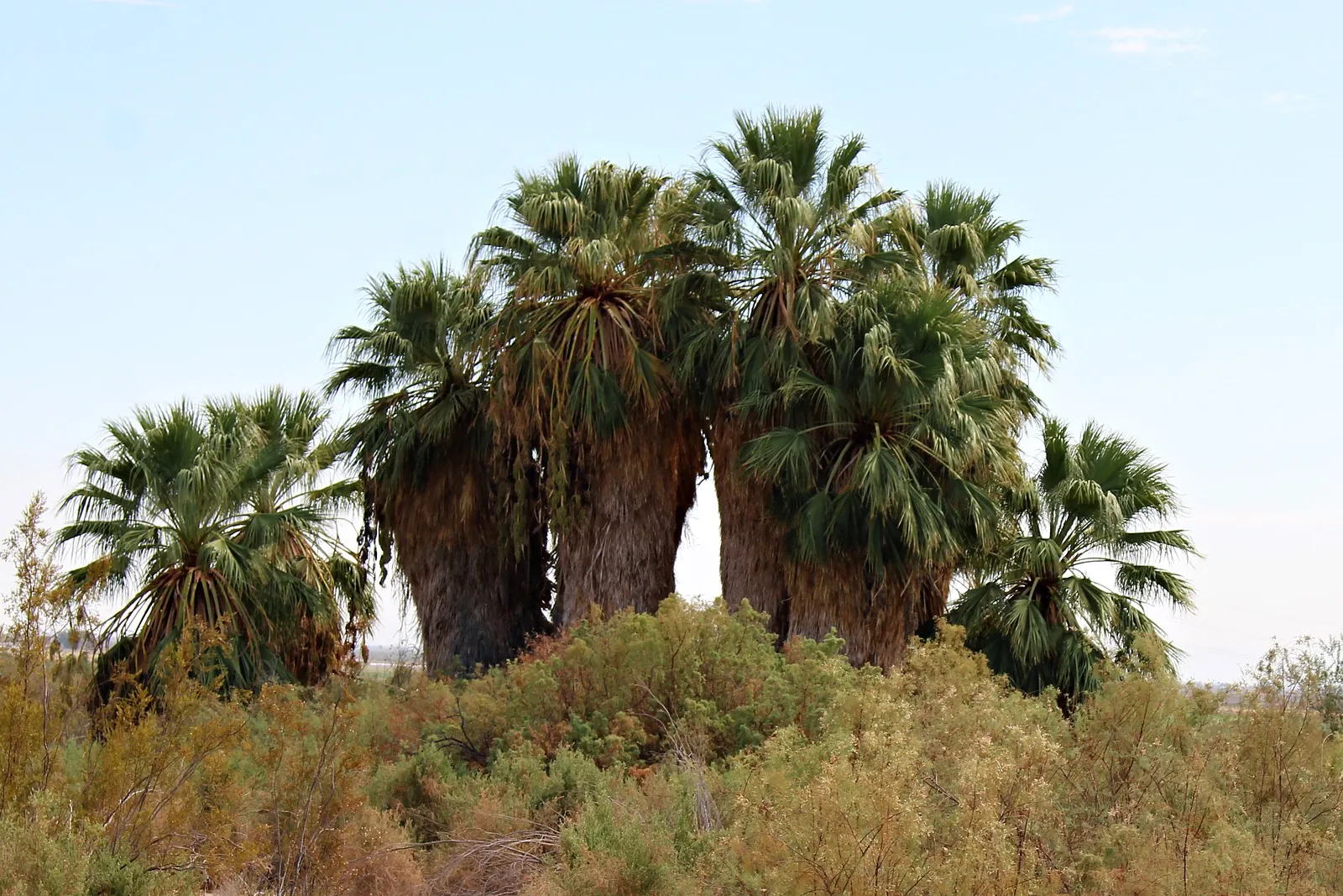
- Stands of mature native California fan palms in a band of desert woodland running northwest to southeast, with open desert ground on the west side.
- South line
- A dirt road
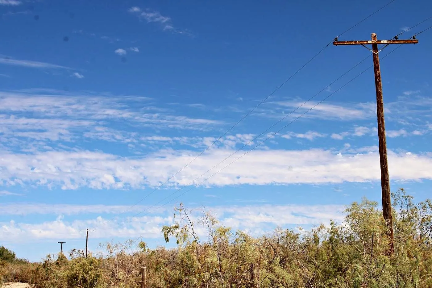
- A dirt road, with a power line along the far side and an established, irrigated orchard beyond. The orchard is a neighbor’s, not part of the sale.
- Zoning
- S-2-RE
- Open Space/Preservation, inside the county’s Renewable Energy overlay. General Plan: Recreation. Minimum lot size 20 acres.
How far to town
Straight-line miles
- Oasis 80
- Calipatria9 mi
- Niland12 mi
- Brawley14 mi
- El Centro26 mi
What eighty acres can be
A landmark you can see from miles off.
The palms are California fan palms (Washingtonia filifera), the only palm native to California: the big, shaggy desert palms of the old oases around Palm Springs and Anza-Borrego.
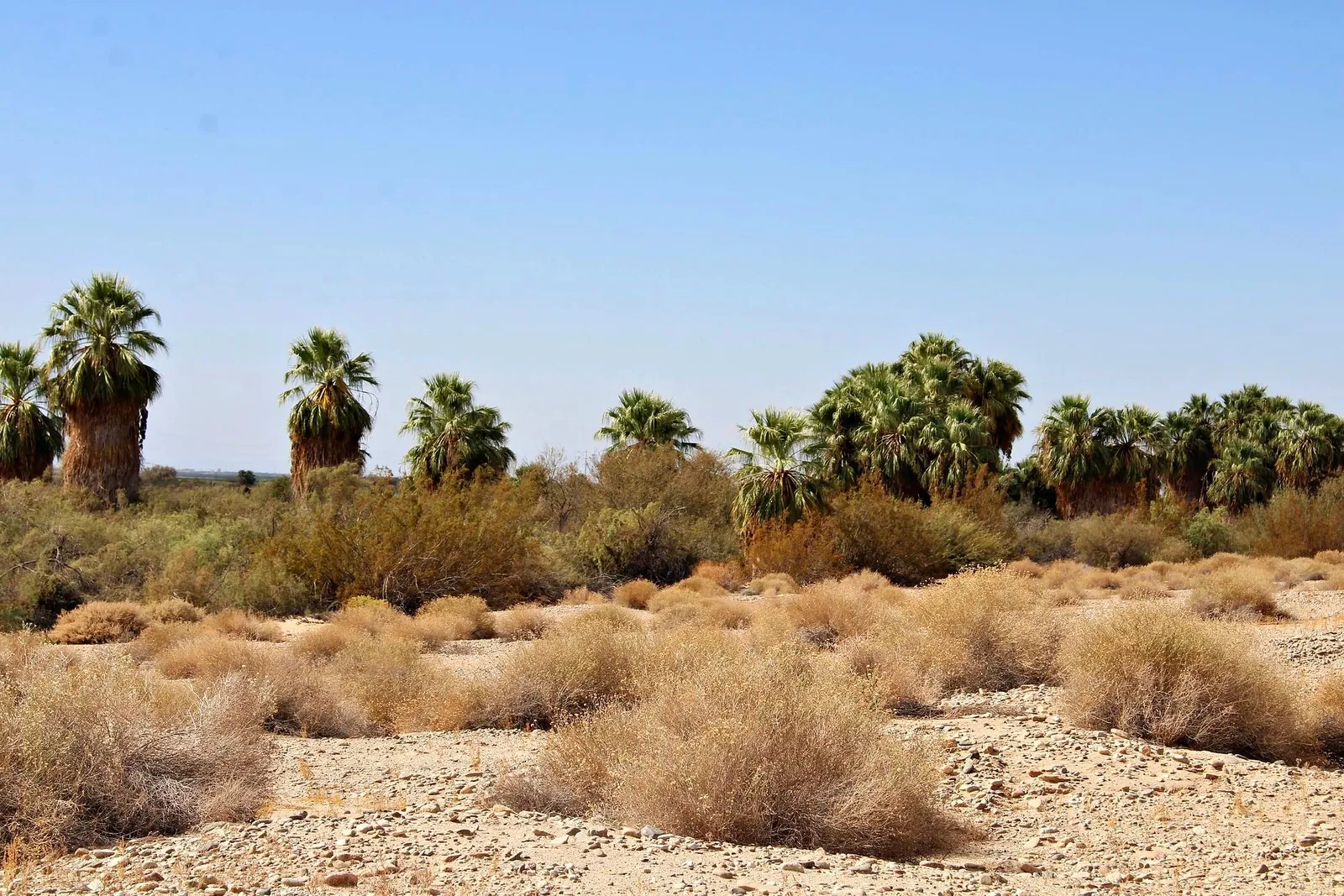
A private oasis
A place of your own under the palms, with open desert beyond.
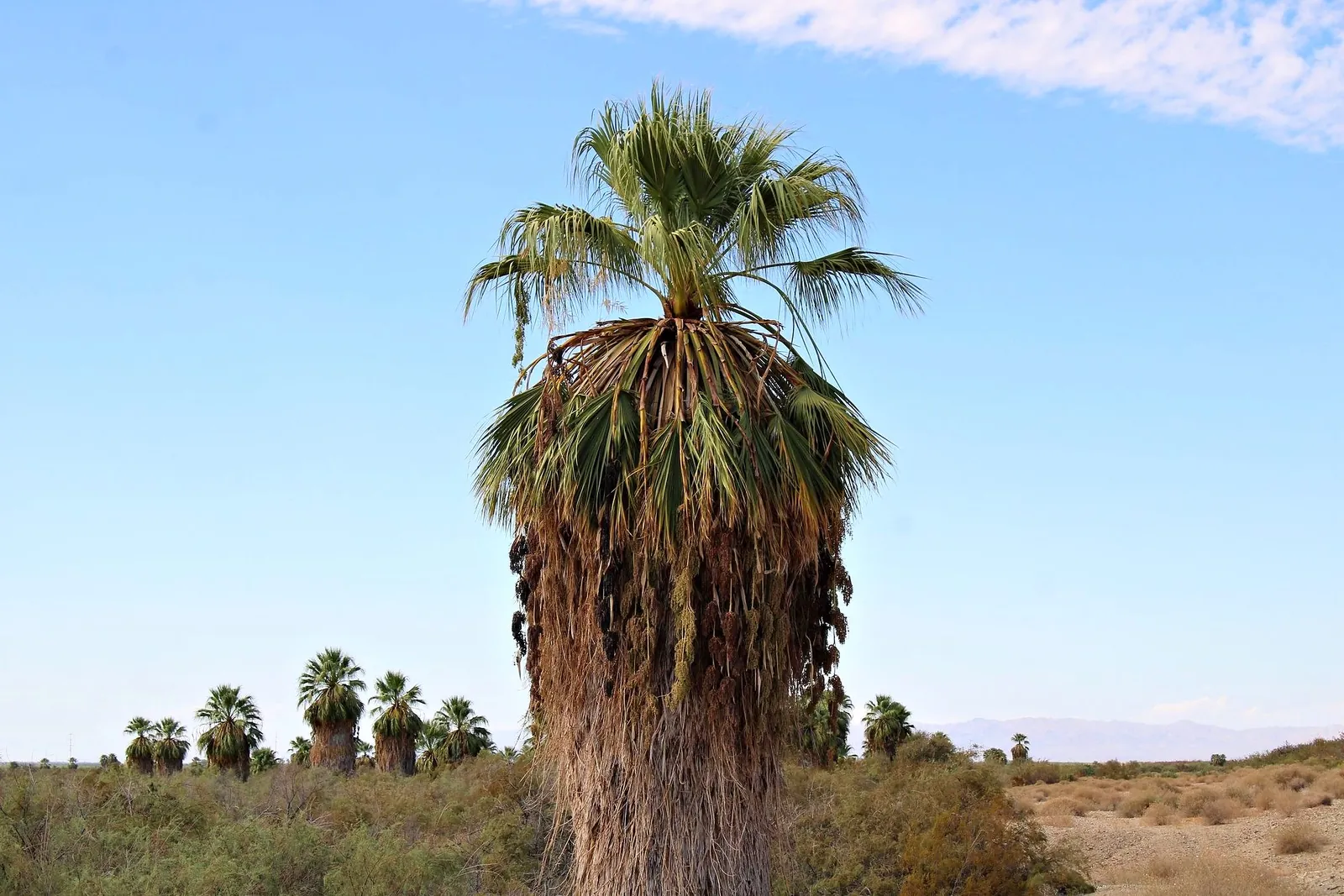
Conservation and habitat
Native palms, desert woodland and wildlife in one block. Land like this can interest conservation buyers and habitat programs.
These are possibilities, not promises: each depends on access, water and county approval.
How this sale works
How to make an offer
There’s no asking price. Send a written offer by Sat., Dec. 5, 5 pm PT. All offers are reviewed together after the deadline.
- Now
Review
The film, the record, the photos and the property package.
- Self-guided
Visit
Walk the parcel on your own with the GPS corners. Please don’t cross fenced or posted land, including the orchard next door.
- By Dec. 5, 5 pm PT
Offer
In writing, by email. You’ll hear back by Tuesday, Dec. 8.
- After acceptance
Escrow opens
Signed agreement, deposit to escrow.
- 10–14 days
Close
Usually 10–14 days after escrow opens for a cash sale. The balance goes through escrow and the deed records in your name.
Include your price, deposit, due-diligence period, closing date, and proof of funds or your lender’s pre-approval. Cash, or your own lender.
A strong offer may be accepted early, but not before everyone who asked for the package gets an email.
Get the property package
Emailed to you: the property package, the boundary for Google Earth and the film.

Buyer to independently verify zoning and permitted uses, legal and physical access, water and utility availability, easements, environmental conditions, and all other matters material to the purchase. Acreage is approximate and calculated from boundary coordinates; it is not a survey. Plant identification is from site photographs. Distances are straight-line. Information is believed accurate but is not guaranteed. The seller may accept or decline any offer. The offering may change or be withdrawn without notice.