Available now · Kern County
The Square
One cash price · $99,000
- One cash price
- $99,000
- Per acre
- About $4,901
- Terms
- Cash, through escrow
- To close, usually
- 10–14 days
20.2 acres, · Kern County, California, · Four adjoining parcels, · APNs 302-305-05 to -08
See it for yourself
The film, the photos, the records and the boundary.
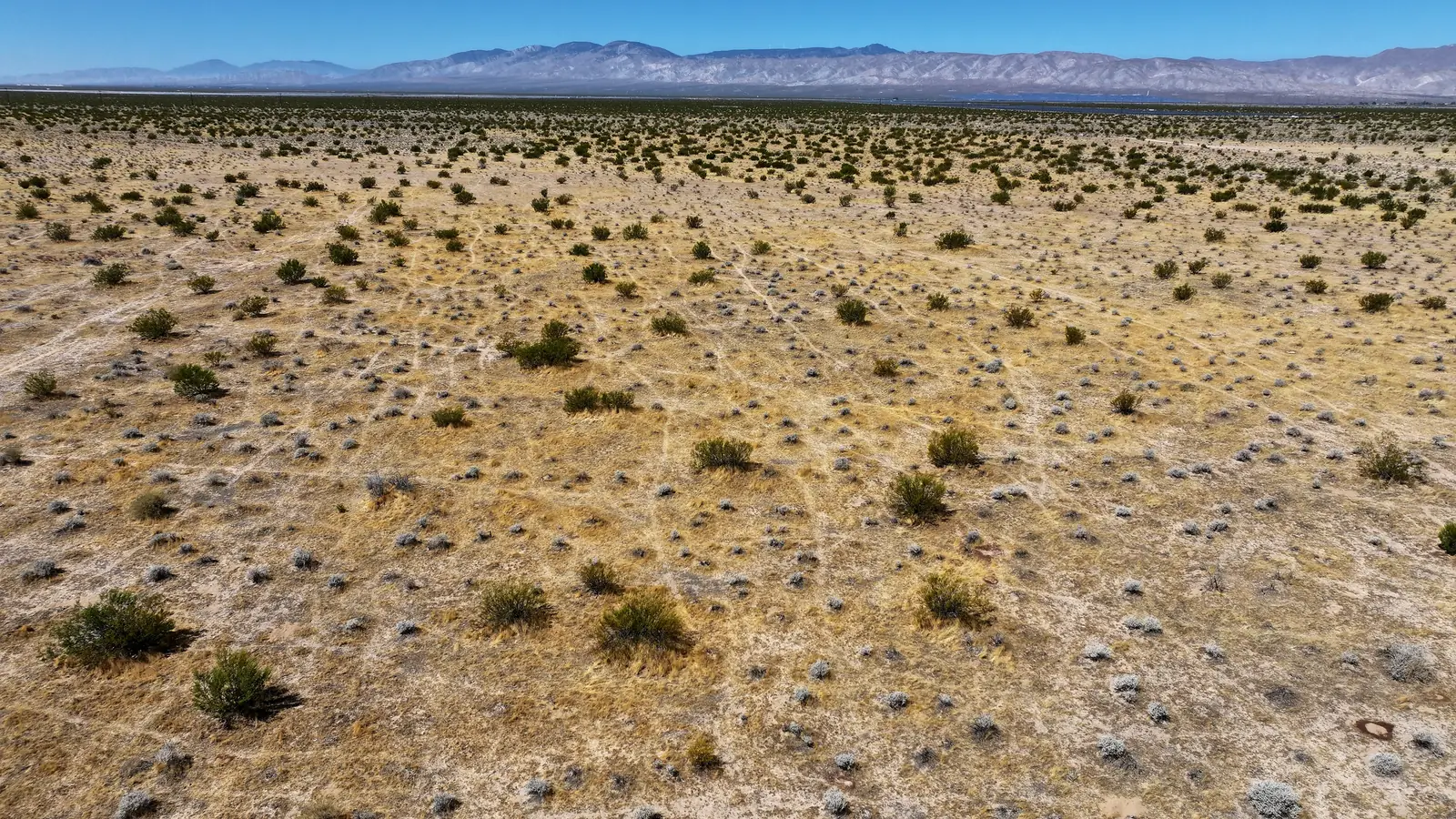
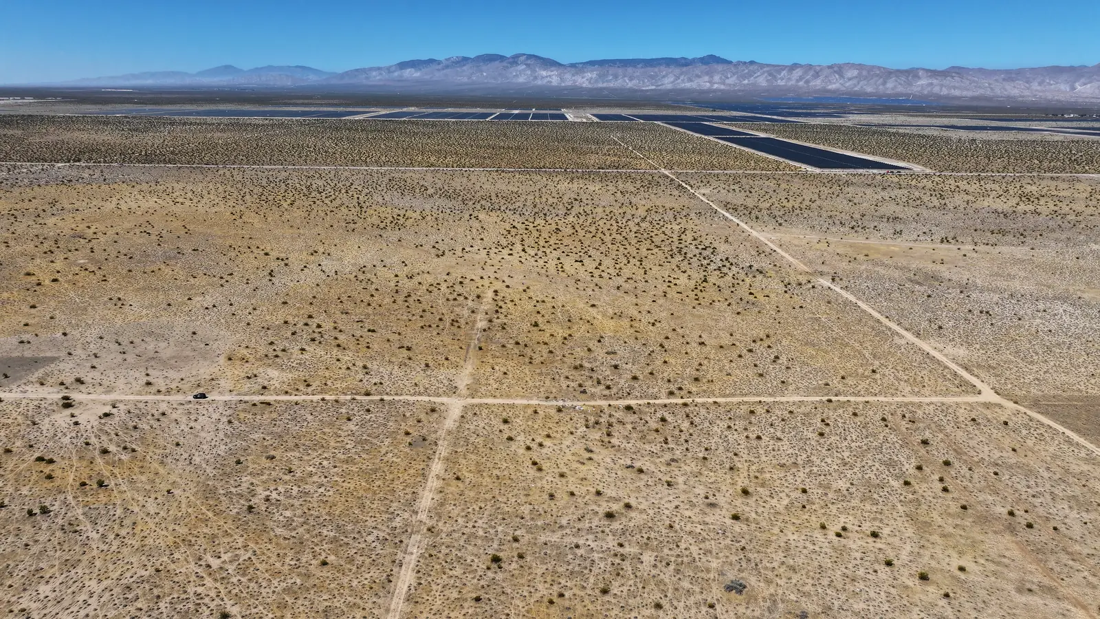
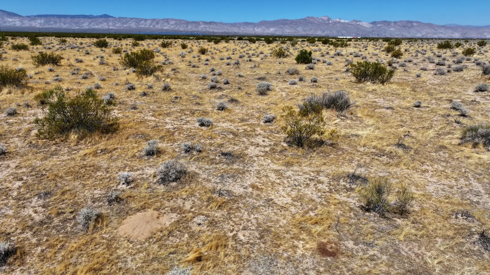
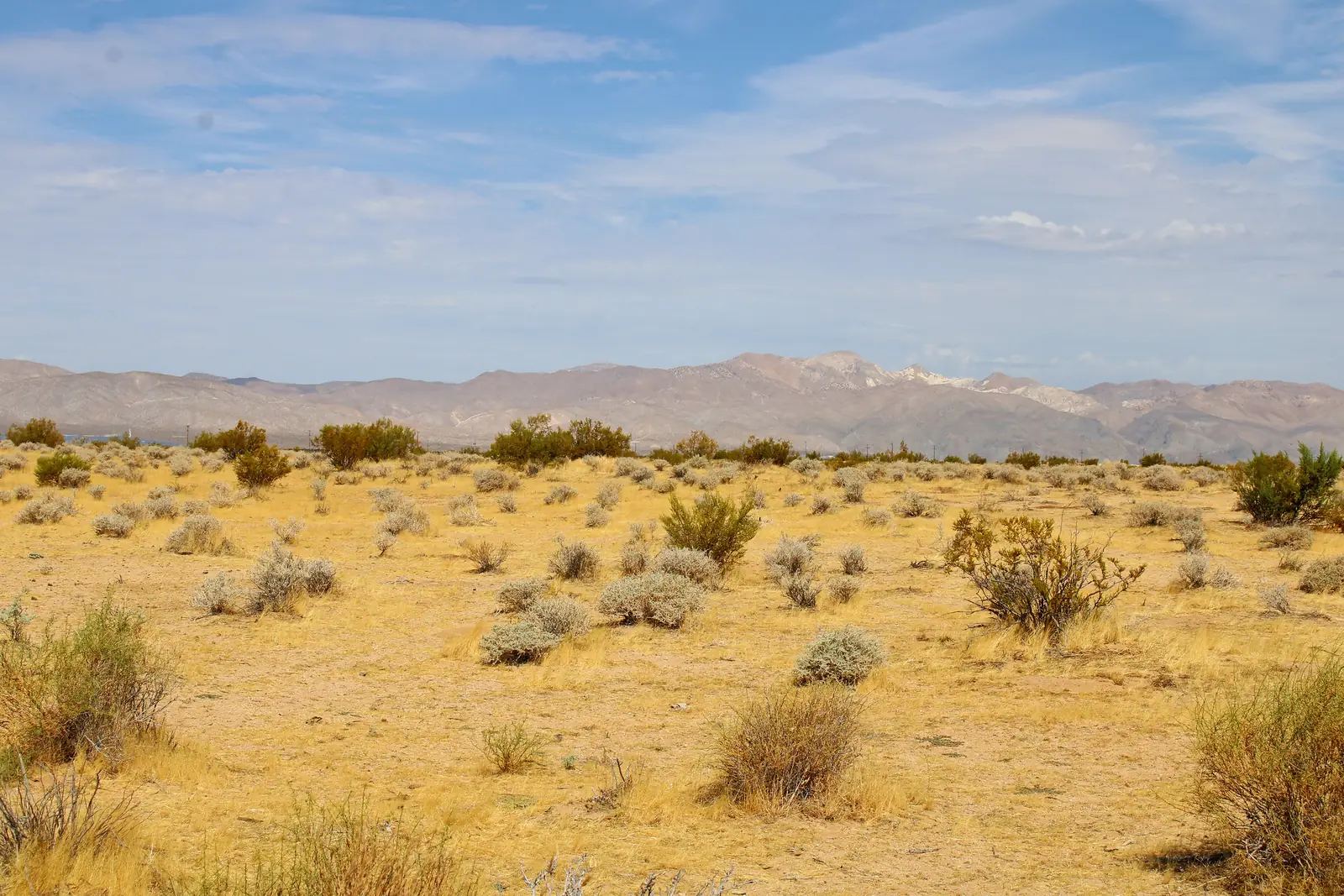
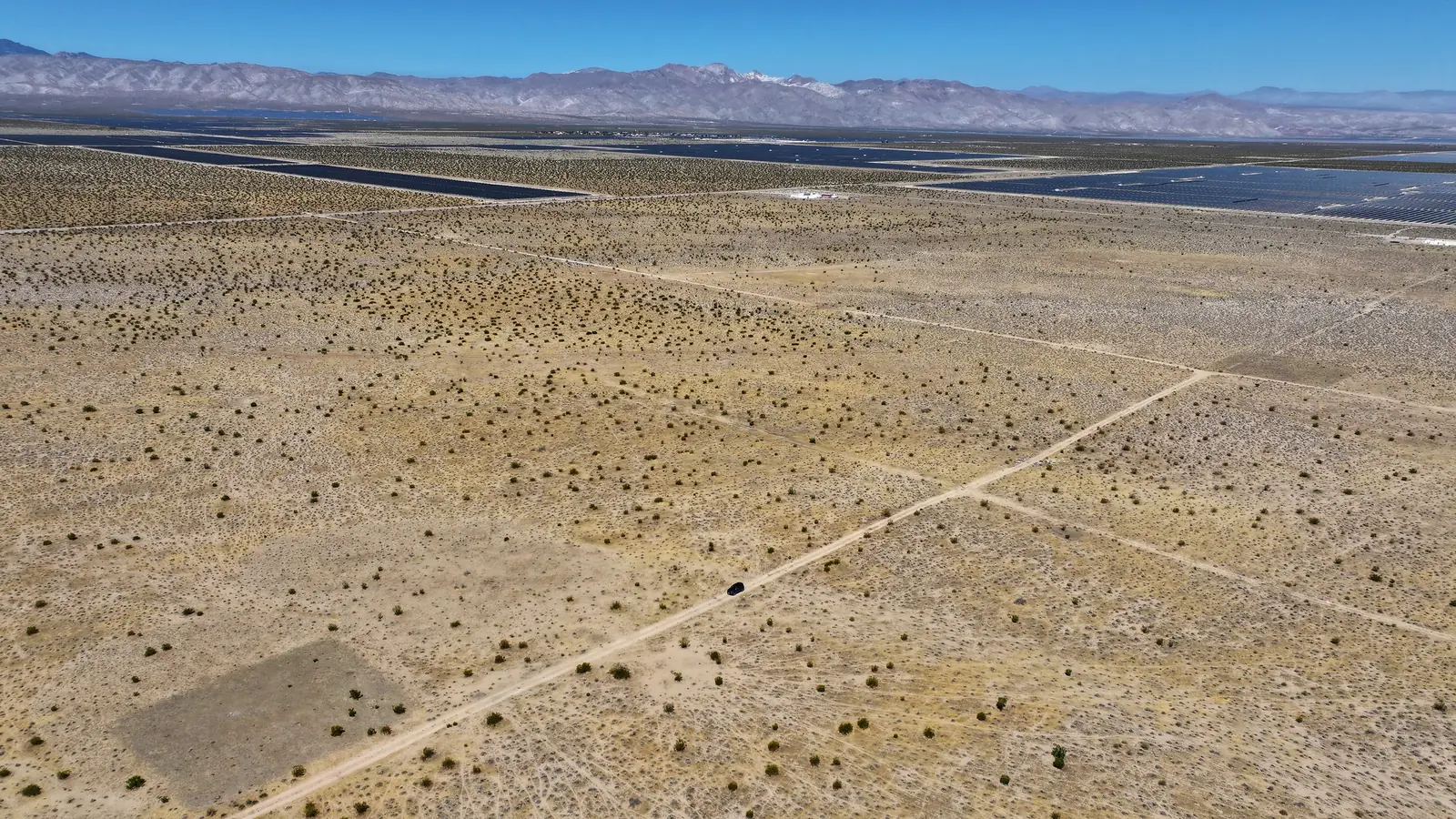
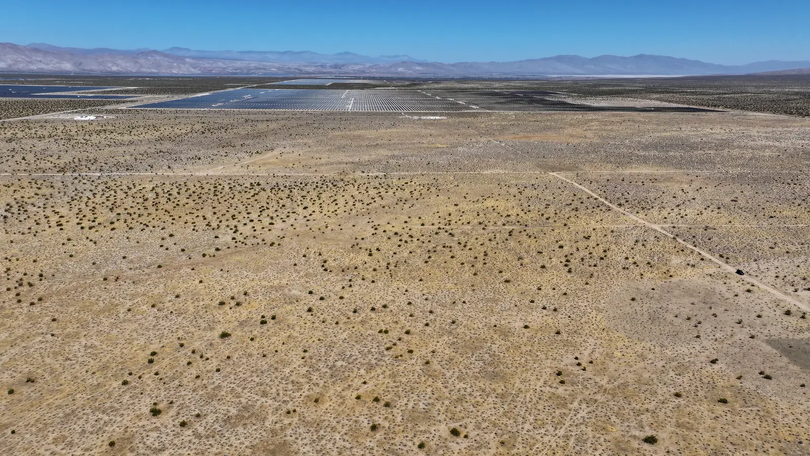
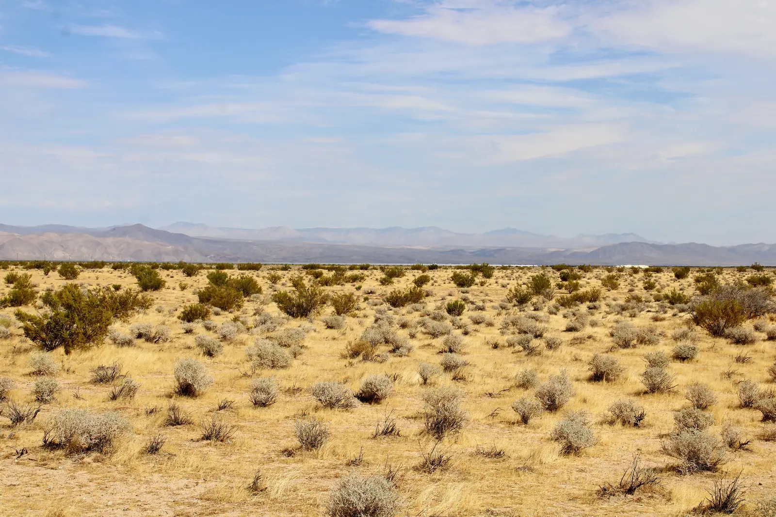
20.2 acres between two solar projects in California City. Four adjoining parcels in one block, at one cash price.
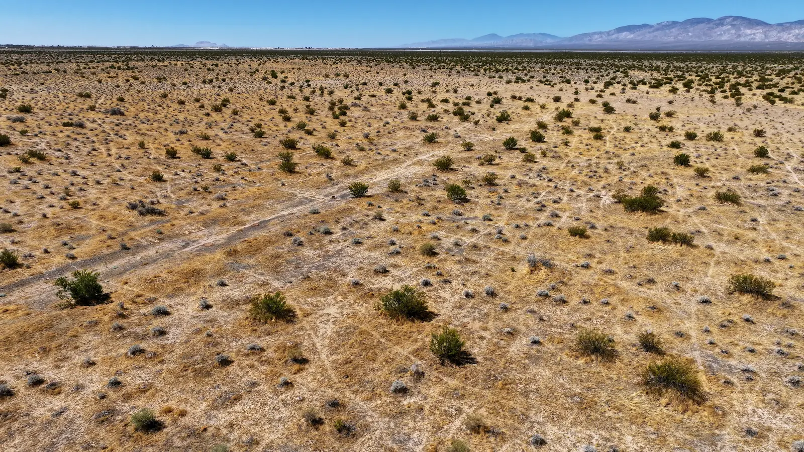
- 01The filmThe drone film of the land
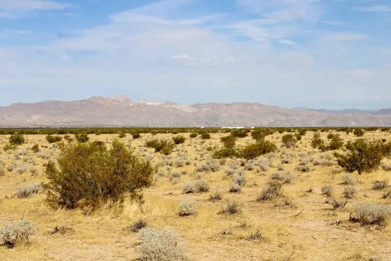
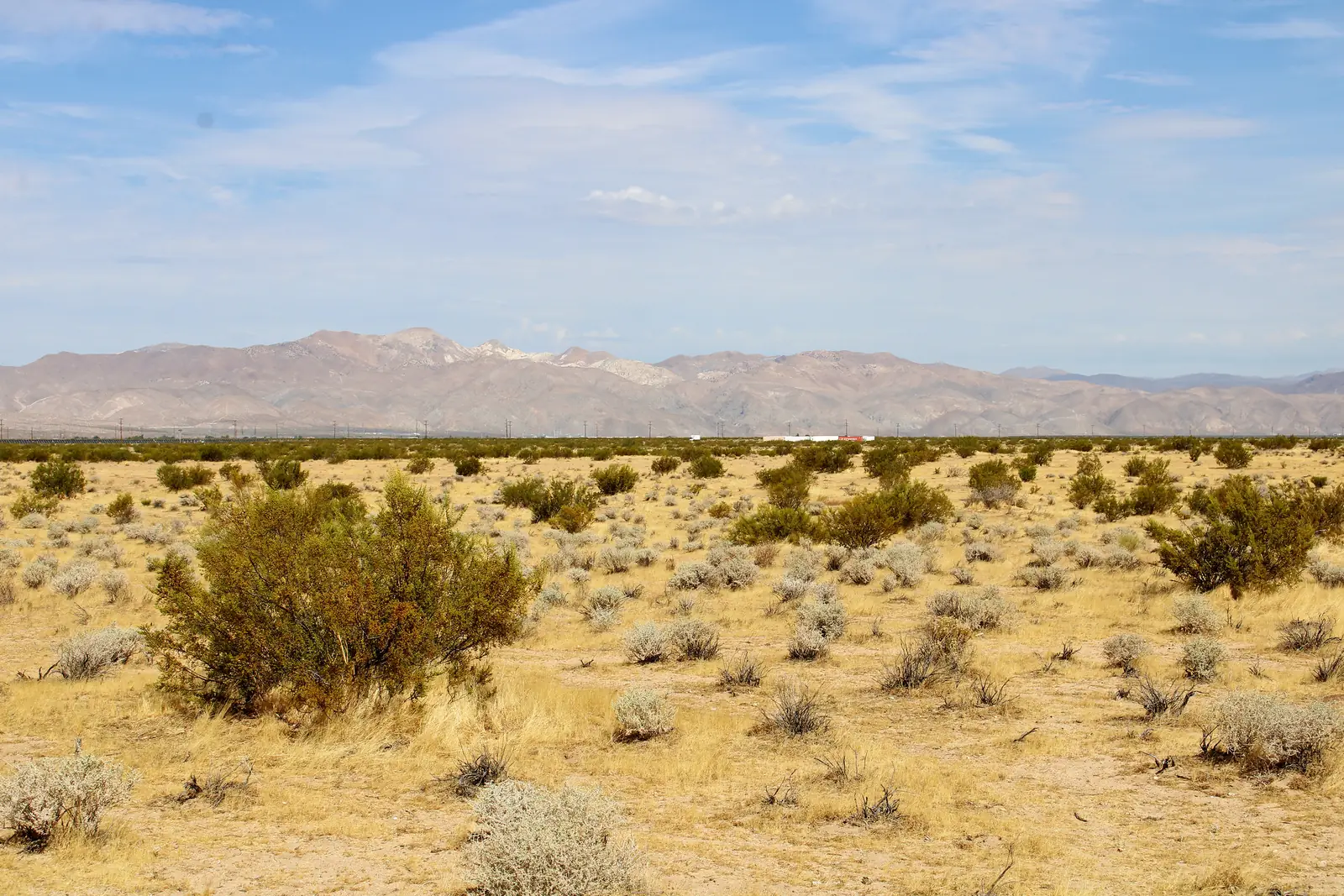
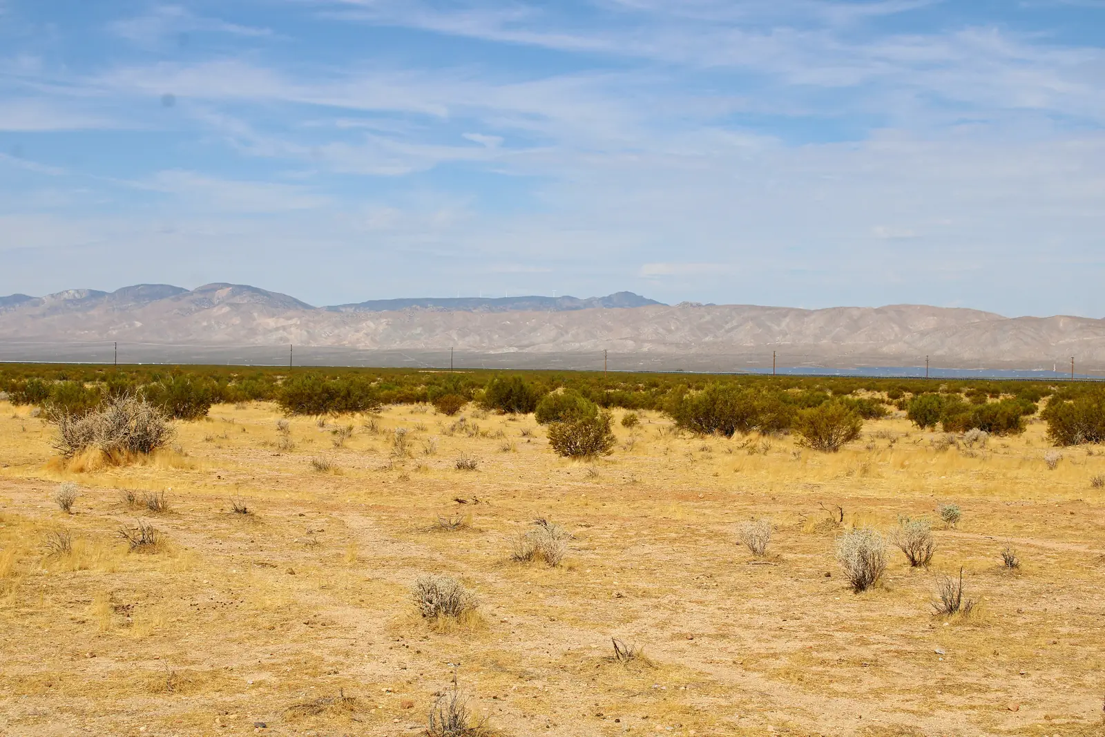
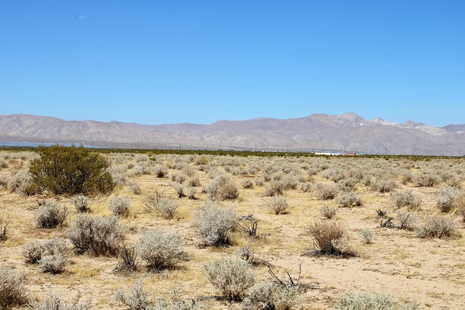
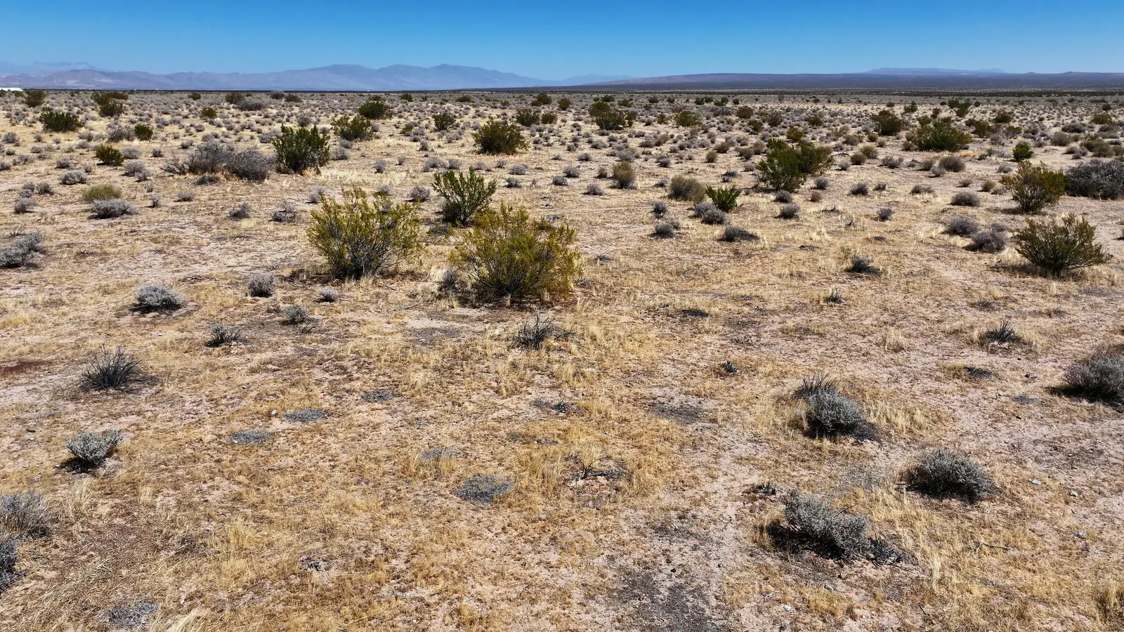
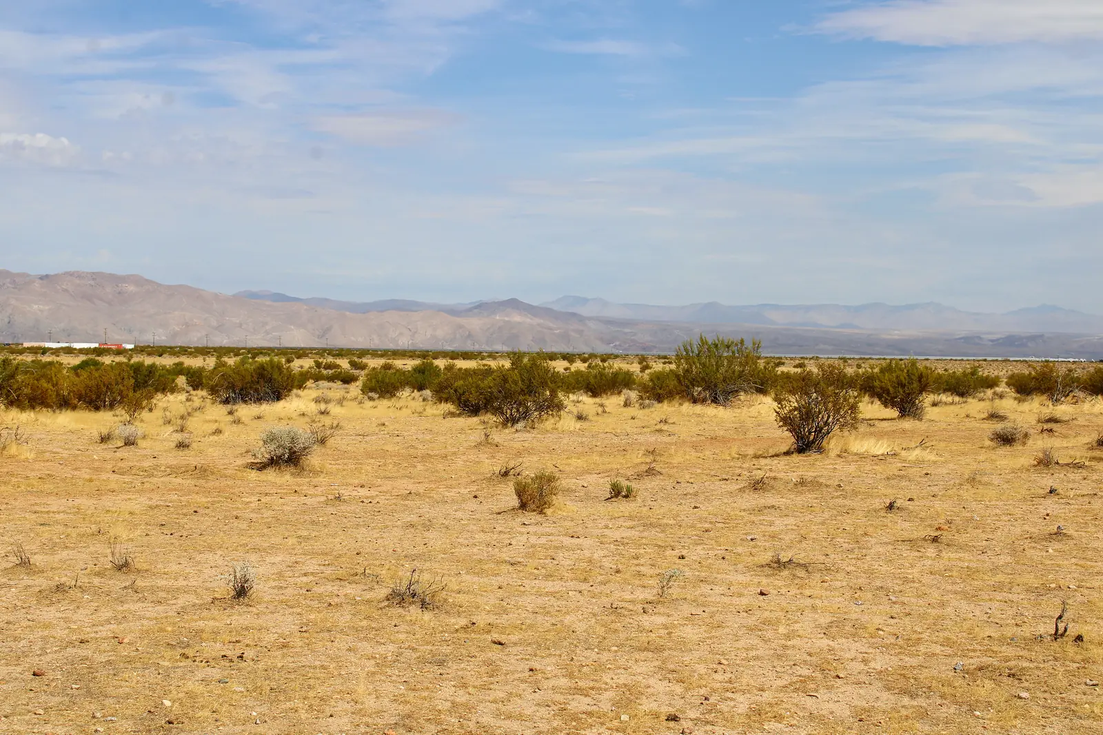
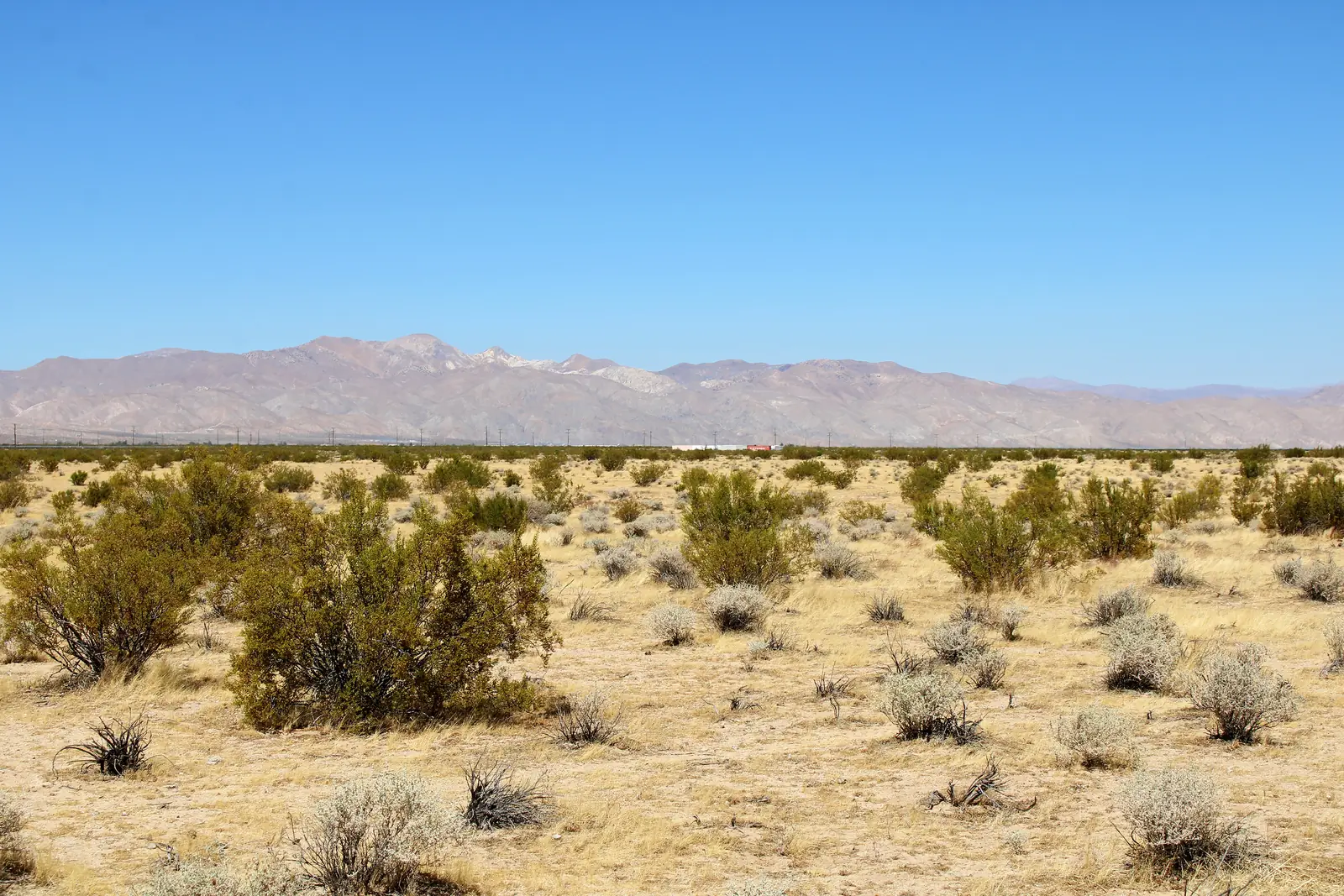
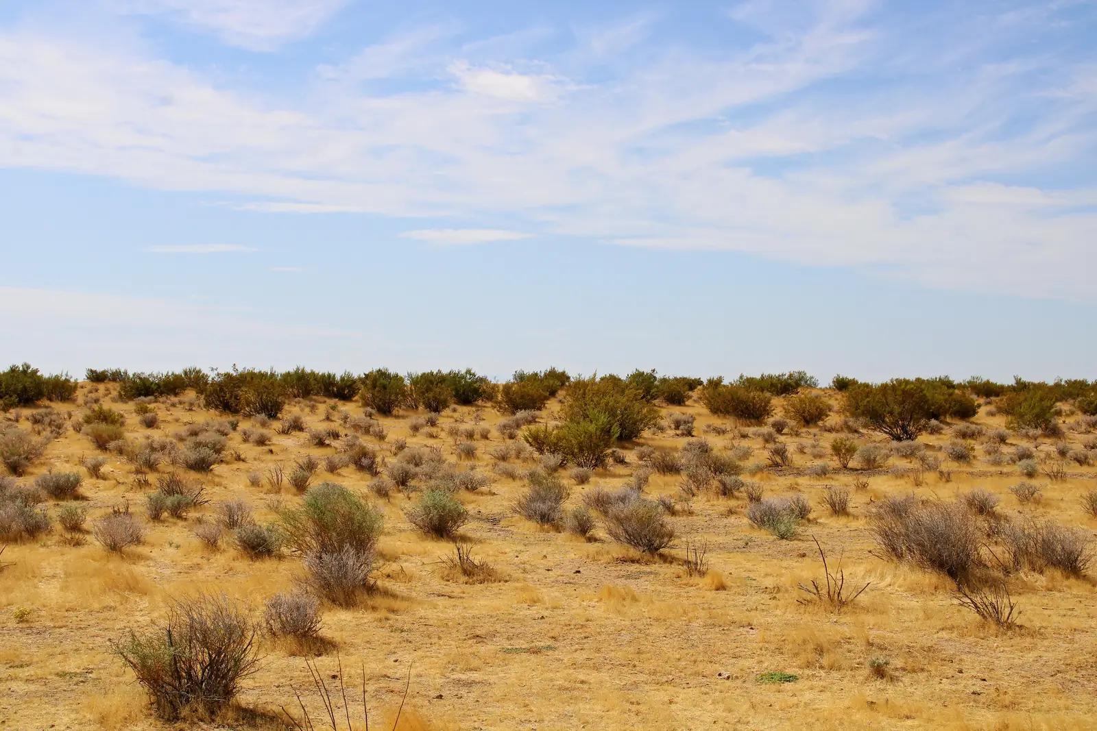
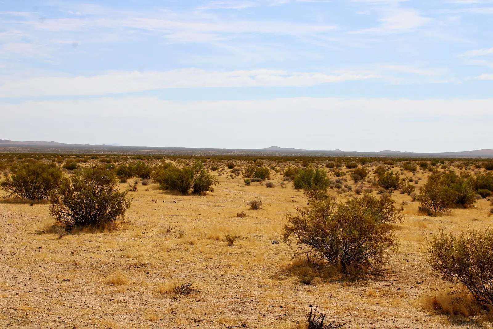
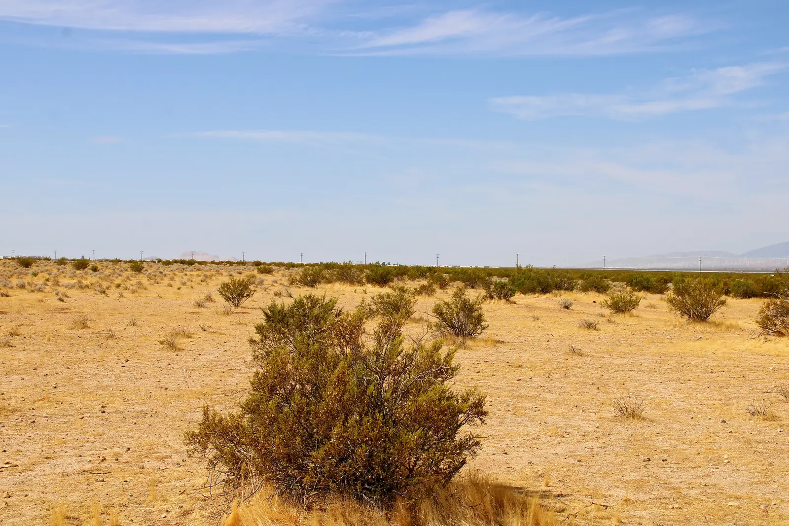
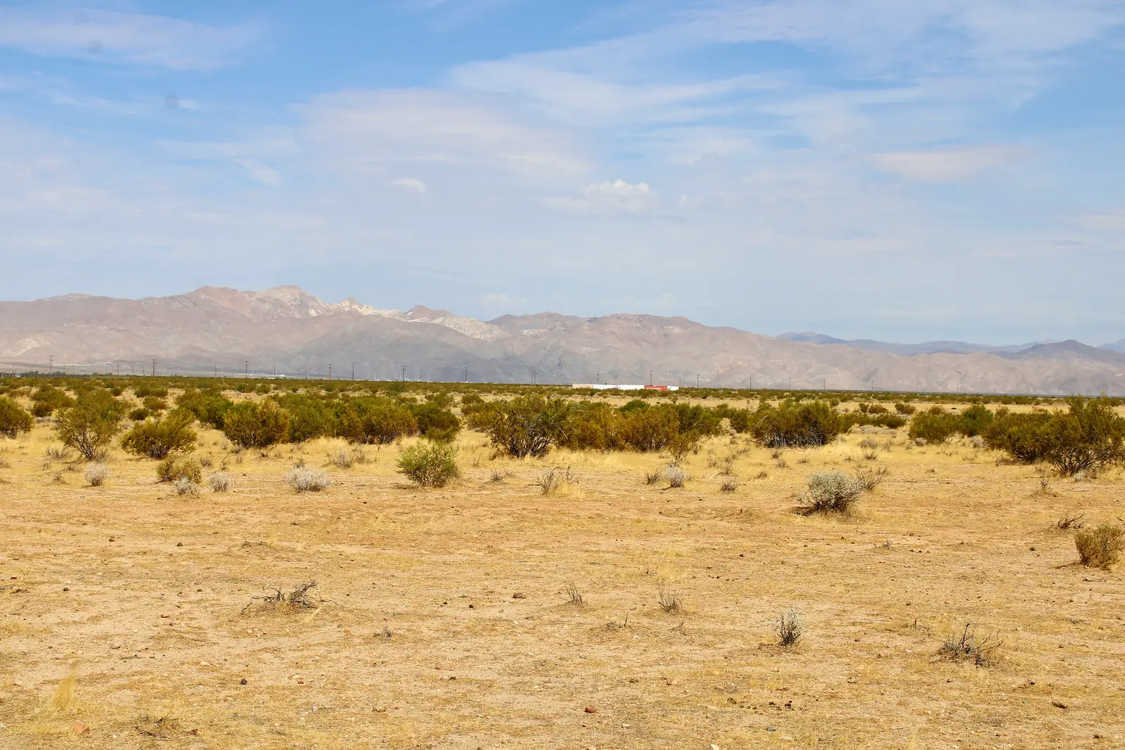
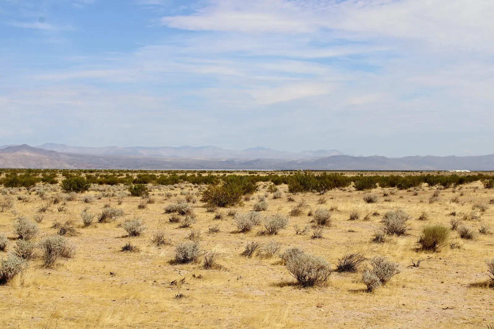
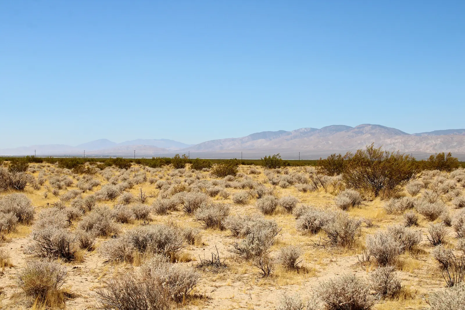
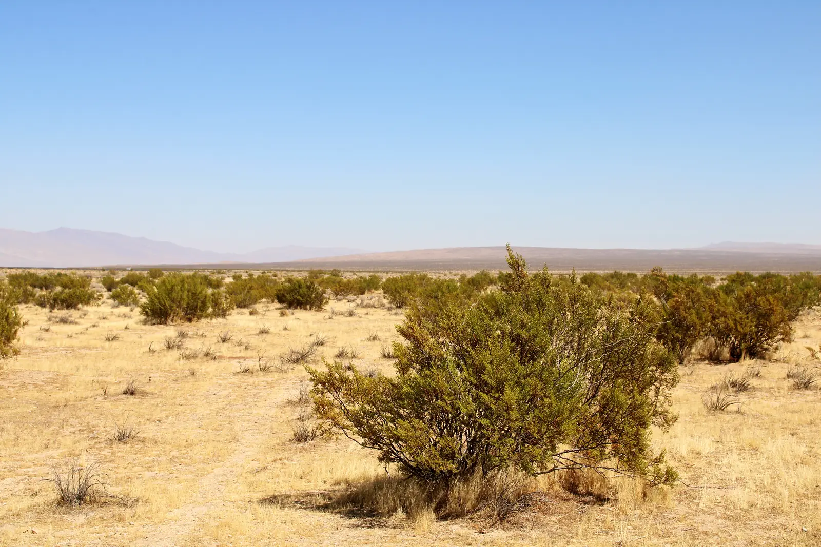
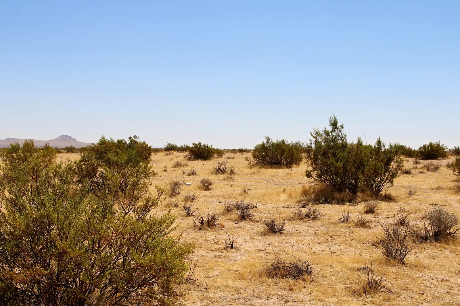
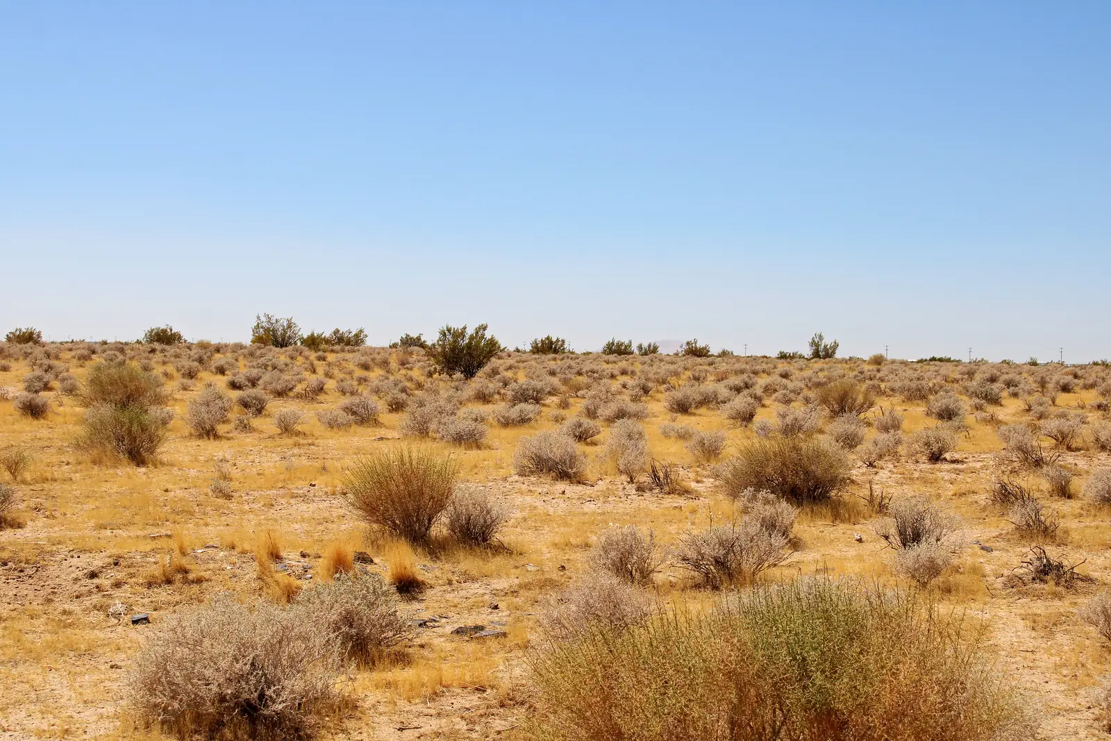
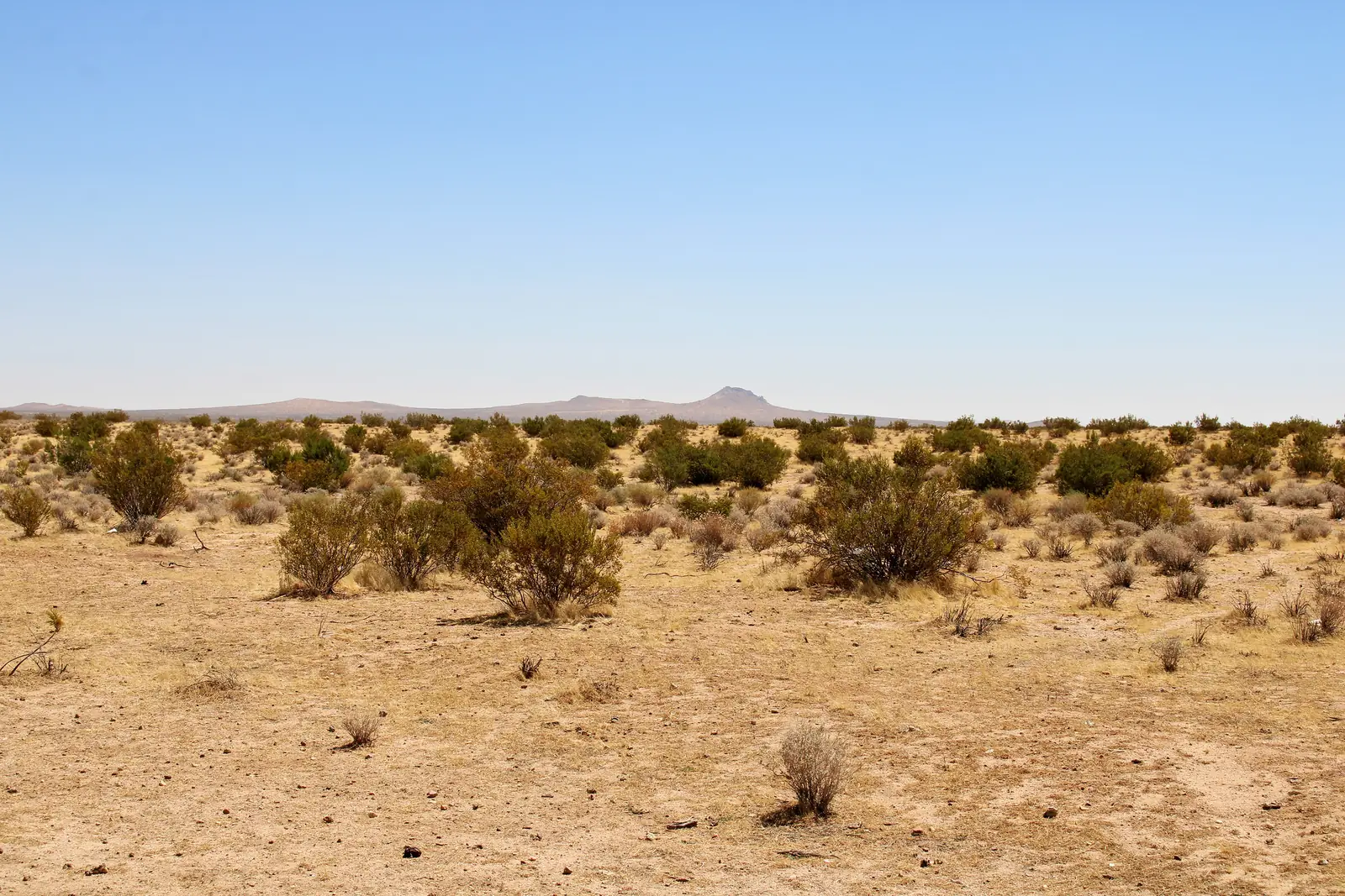
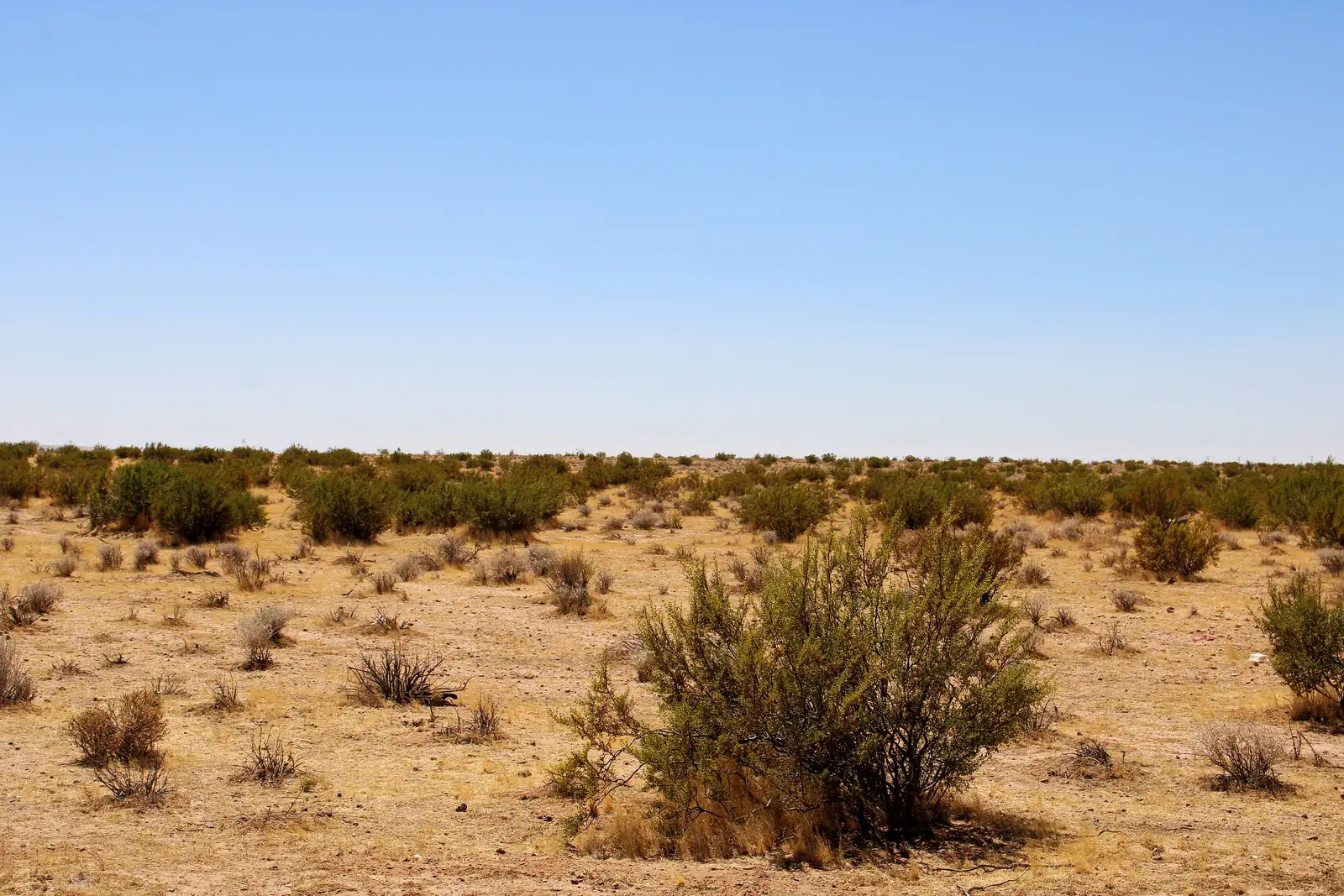
- 02The photos48 photos of the land
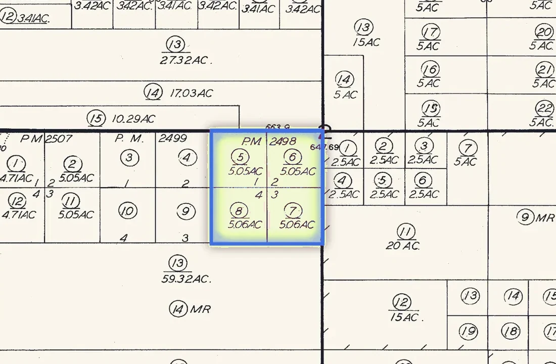
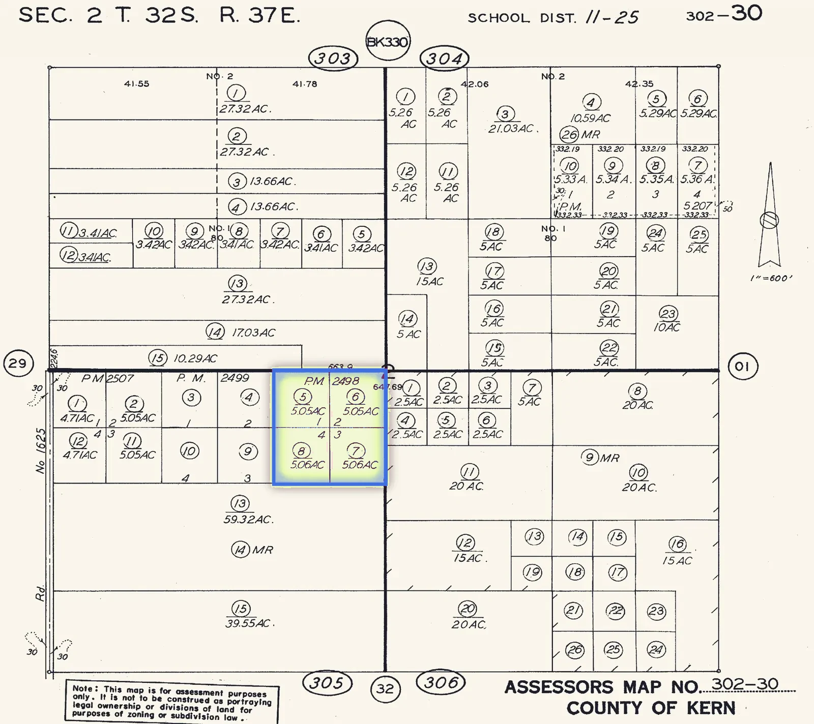
- 03The recordsPlat map, title notes, public records
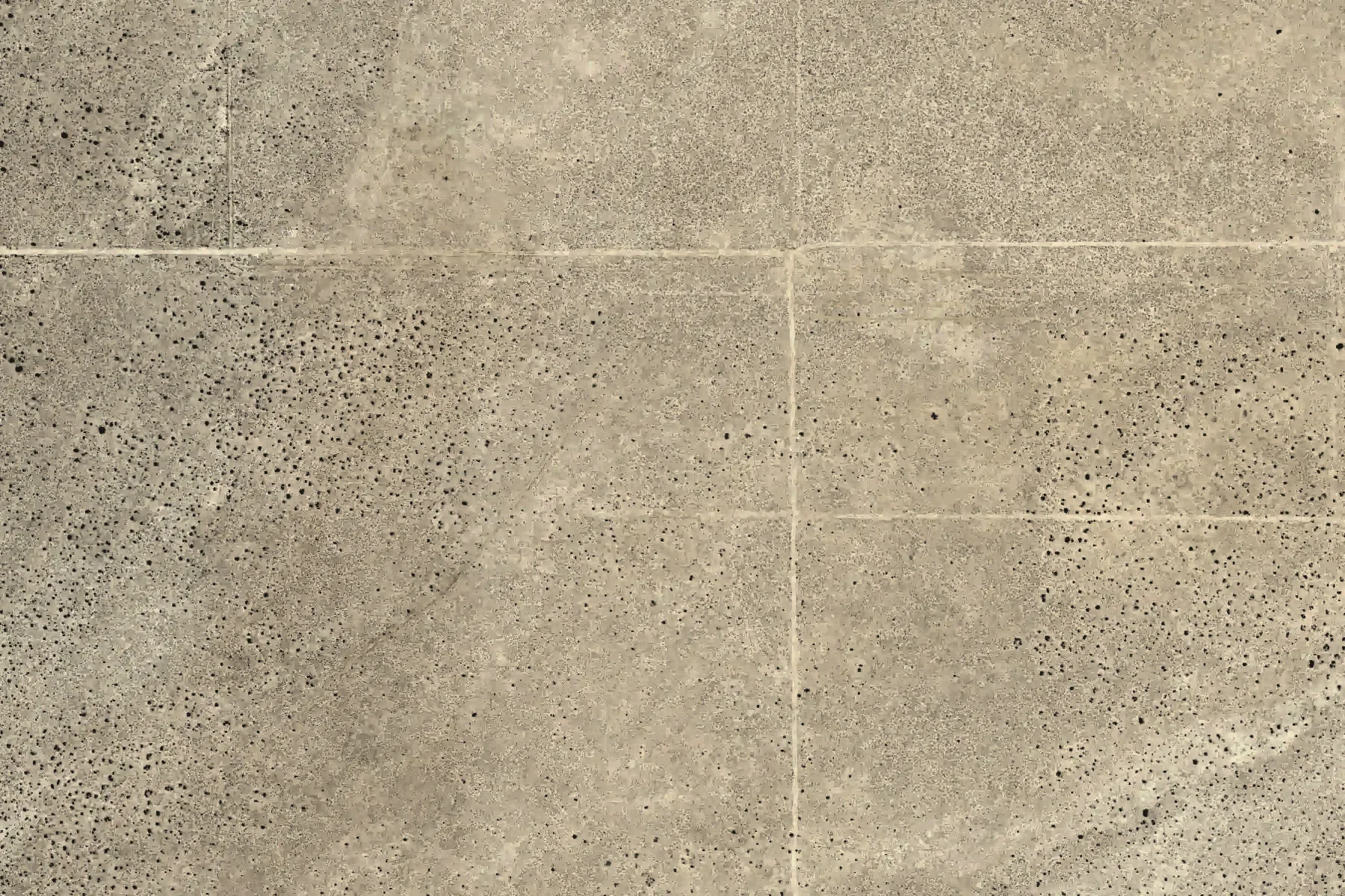
- Lime line: the boundary, about 1,000 by 885 ft
- Dashed lines: the four legal parcels, about 5 acres each
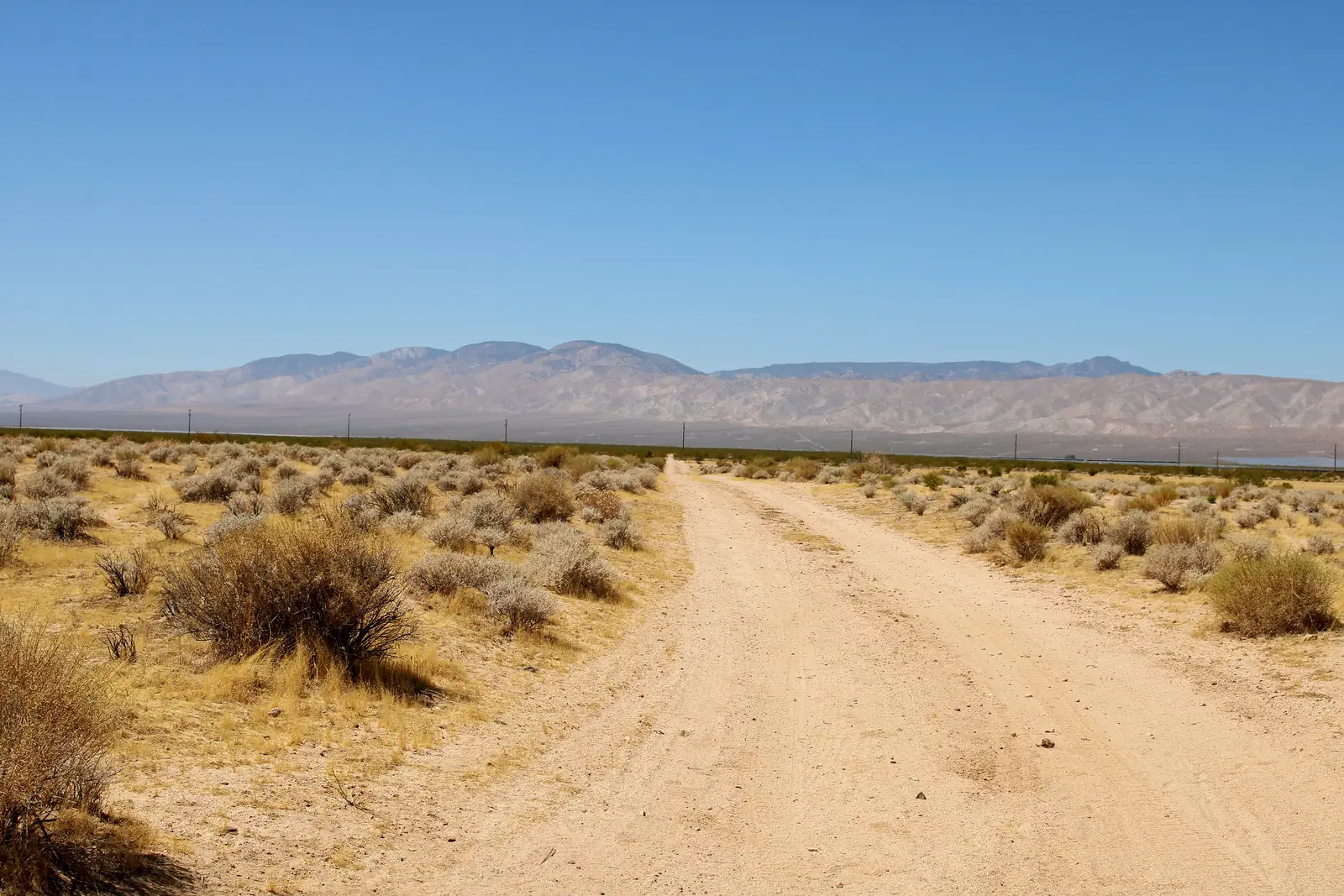
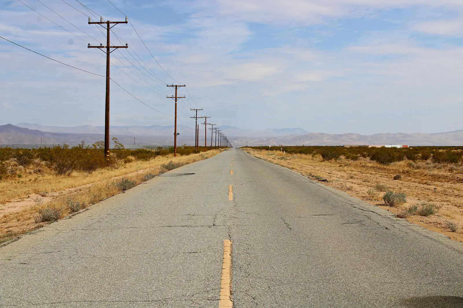
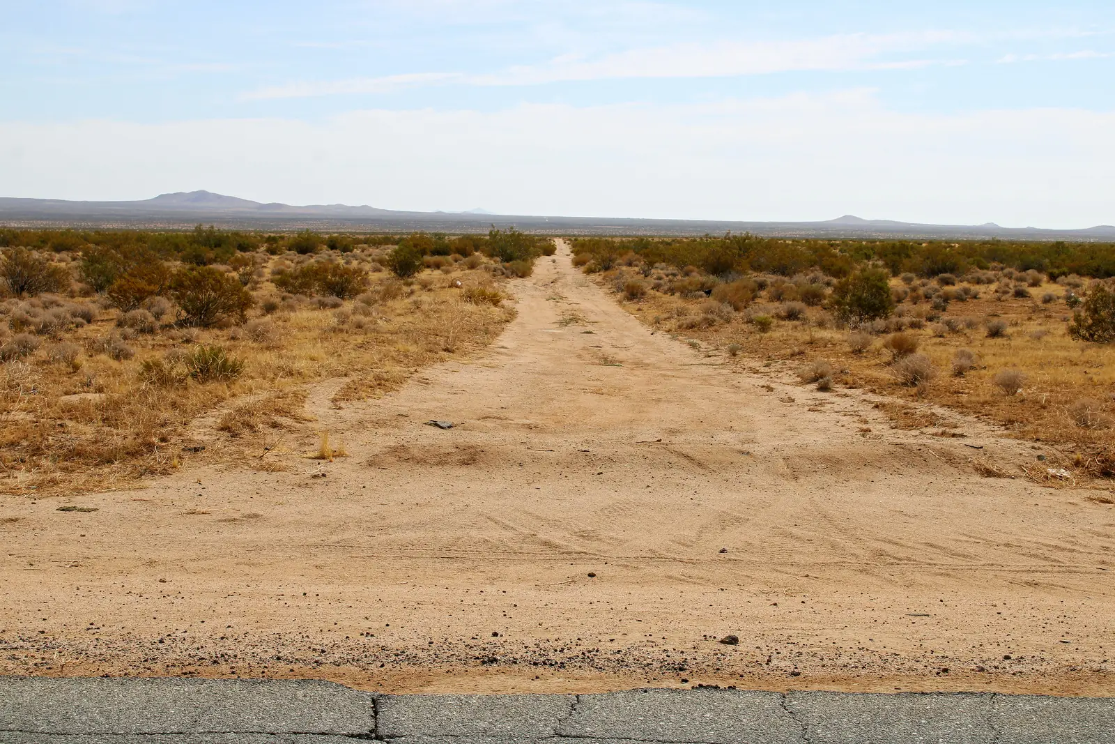
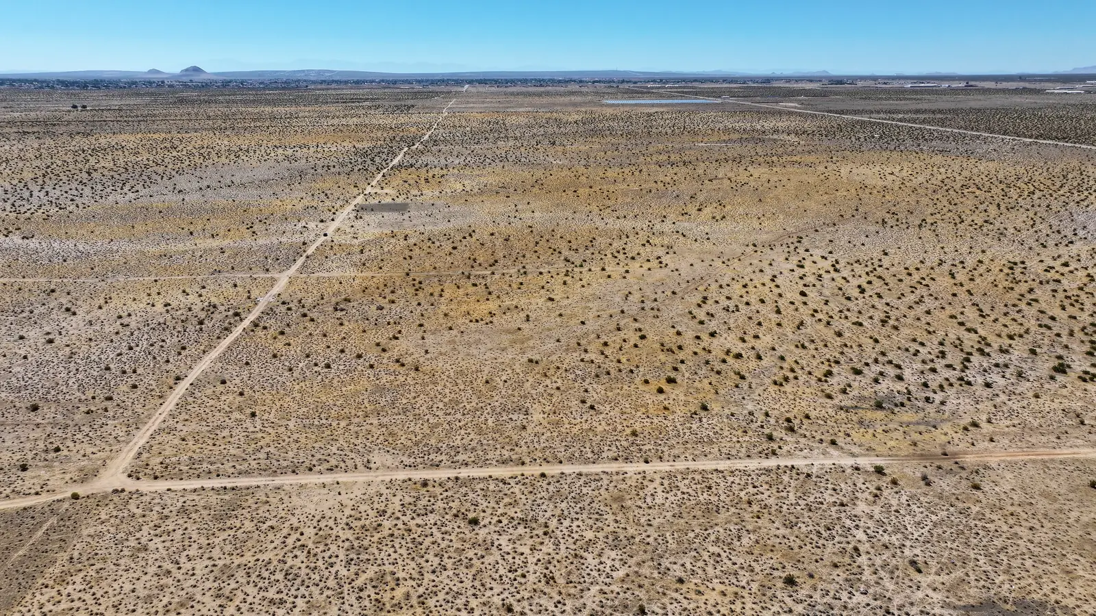
- Along the north and east lines: dirt roads
The records
Title and boundary notes
From the preliminary title report by Stewart Title of California, dated April 29, 2026.
- APNs
- 302-305-05, -06, -07, -08
- Property taxes, 2025–26
- $157.06 for all fourPaid
- Legal description
- Parcels 1–4 of Parcel Map No. 2498, City of California City
- County map
- 5.05 + 5.05 + 5.06 + 5.06 acres
- Liens
- No open deeds of trust or liens found
- Minerals
- Half reserved by a 1953 deed
- Survey
- None. The county map isn’t a survey.
- Title report
- Stewart Title of California, April 29, 2026
The records
The title, step by step
- 1917
Federal land patent
The title report lists the standard reservations from the 1917 federal land patent.
- 1953
Half the minerals reserved
A 1953 deed reserved half of the oil, gas and mineral rights.
- 1975
Road easements
Two road easements for neighbors’ access, and an offer to dedicate a strip for a road.
- Your purchase
A fresh title report
Escrow orders a fresh preliminary title report for your purchase. It lists any liens, easements and exceptions before you close.
Also on the title report: an old right-of-way for electric lines and poles (California Electric Power Company, now part of SCE), and the notes on Parcel Map 2498.
From public records
Flood, slope, fire, faults and climate.
Checked against public maps and records in October 2026.
Flood
Outside the mapped flood areas
FEMA's flood map puts the whole parcel outside its mapped flood hazard areas, most likely Zone X (minimal hazard). A mapped Zone A area, the 1-in-100-year floodplain, begins somewhere between about 150 and 500 feet south of the south line. California City's current flood map took effect Sept. 26, 2008. FEMA flood map for this spot →
FEMA National Flood Hazard Layer (March 2026 edition) · FEMA Community Status Book, California City #060440
Elevation & slope
Nearly flat: under a 1% grade
About 2,321 ft at the southwest corner falling to about 2,307 ft on the east side: roughly 14 ft of fall across the whole parcel, toward the northeast. In either direction it is well under a 1% grade, so there is little to level for a pad or a driveway.
USGS 3D Elevation Program, 1-meter lidar (Elevation Point Query Service)
Wildfire
Moderate hazard zone, the lowest of three
CAL FIRE's 2025 map for local areas, as recommended by the State Fire Marshal, rates this spot Moderate, the lowest of its three classes (Moderate, High, Very High). It is a Local Responsibility Area, so California City, not the state, provides fire protection. The nearest station, California City Fire, is about 3.7 miles away.
CAL FIRE / State Fire Marshal, Fire Hazard Severity Zones, Local Responsibility Area map (March 24, 2025)
Earthquake faults
Not in an earthquake fault zone
The parcel is outside California's Alquist-Priolo Earthquake Fault Zones; the nearest zone is about 5.2 miles northwest. The Garlock fault, one of the state's major active faults, runs roughly 3 to 5 miles to the north. Like all of Southern California, this is earthquake country.
California Geological Survey, Alquist-Priolo Earthquake Fault Zones · USGS Quaternary Fault and Fold Database
Getting there
Gas and groceries about 10 minutes away
Out the dirt roads to Neuralia Road, then into California City for gas, groceries, urgent care, a high school and an airport. The nearest emergency rooms are in Tehachapi and Lancaster, about 50 to 60 minutes away. Drive times are without traffic.
Routes: OSRM on OpenStreetMap data · Places: USGS National Map structures (Oct. 2026), USDA store list (Oct. 2026), FAA airport data
Climate
Sunny and dry: about 5.8 inches of rain a year
Summer highs average 97°F in July and August; December lows average 32°F. Most of the year’s rain falls from November through March, and snow is rare, about an inch a year. From the nearest full weather station, in Mojave, 13.6 miles away and about 400 ft higher, so the parcel runs a touch warmer.
NOAA NCEI 1991–2020 Climate Normals, station USC00045756 (Mojave)
Walk It · 3D flyover
See the lines from here, then walk them on the land.
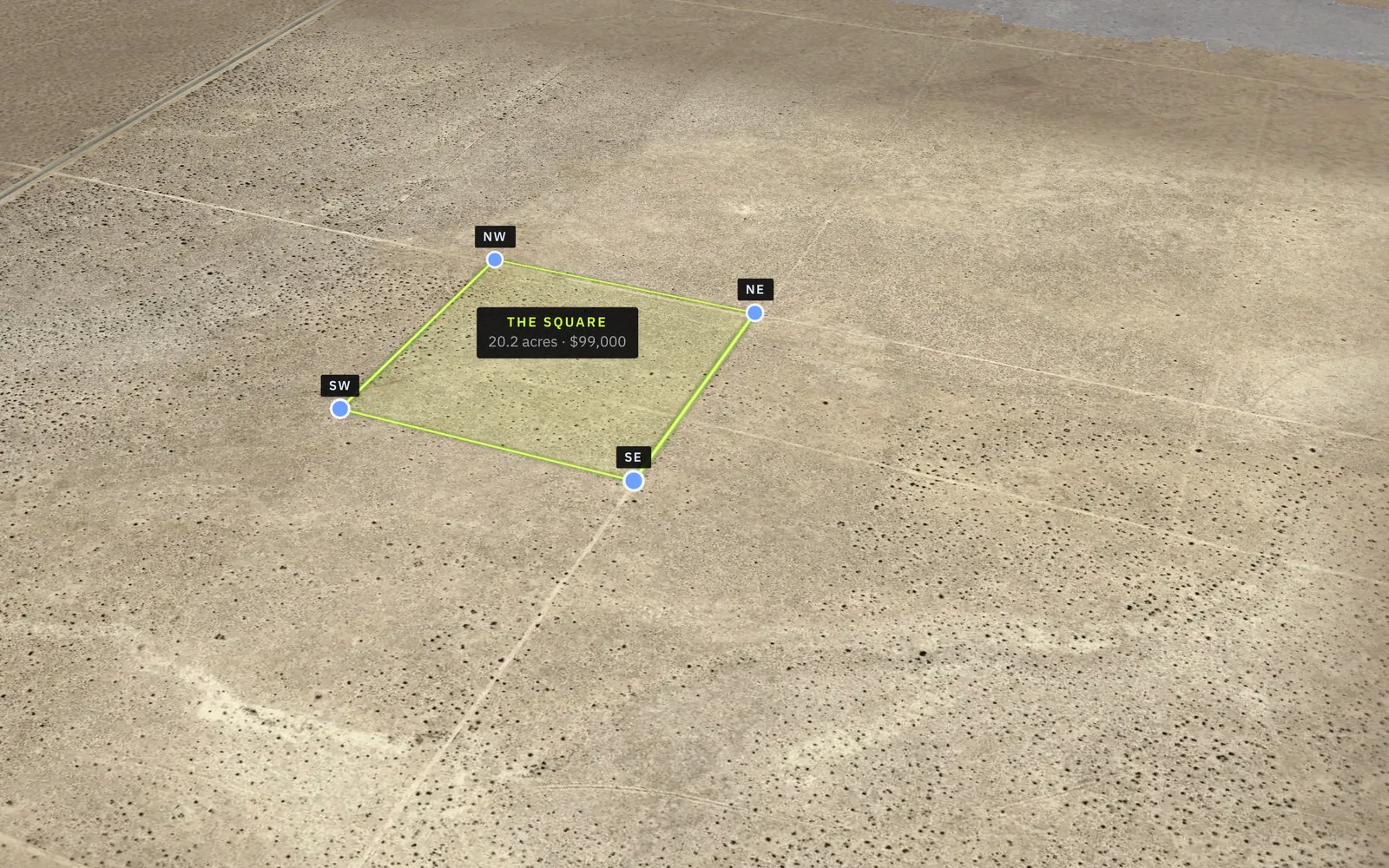
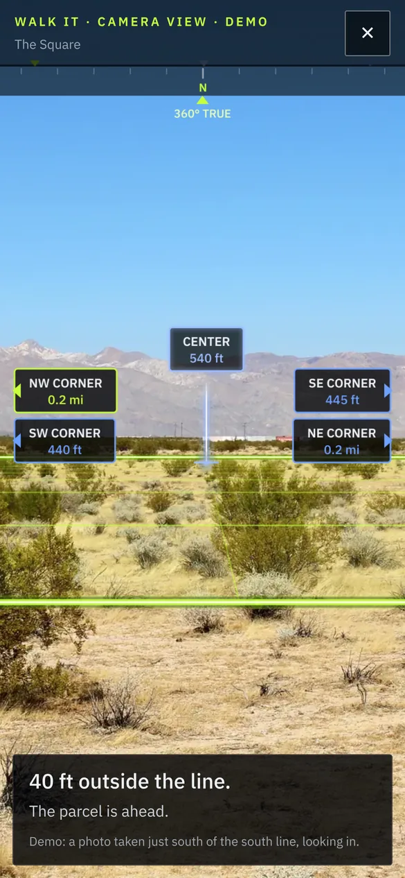
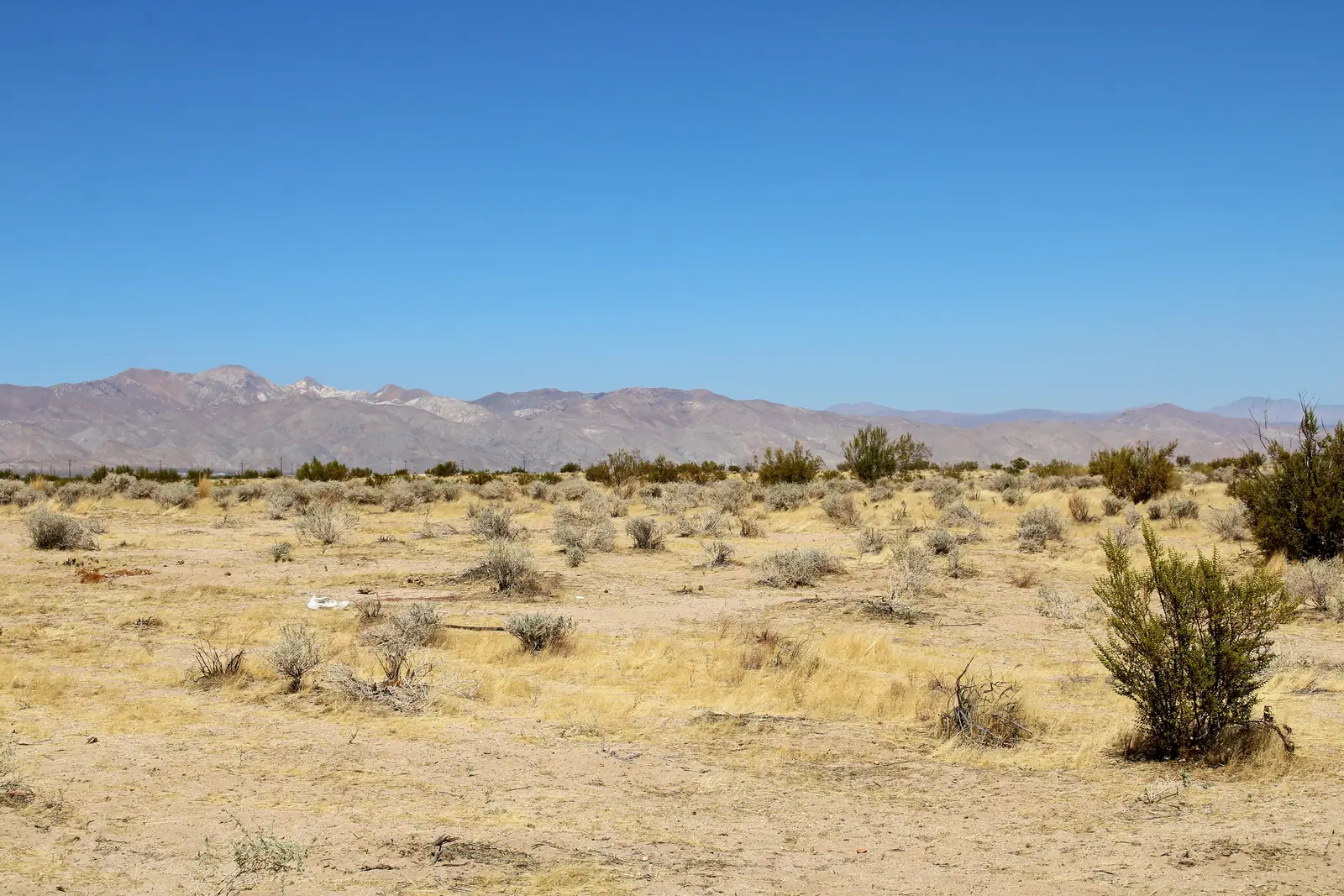
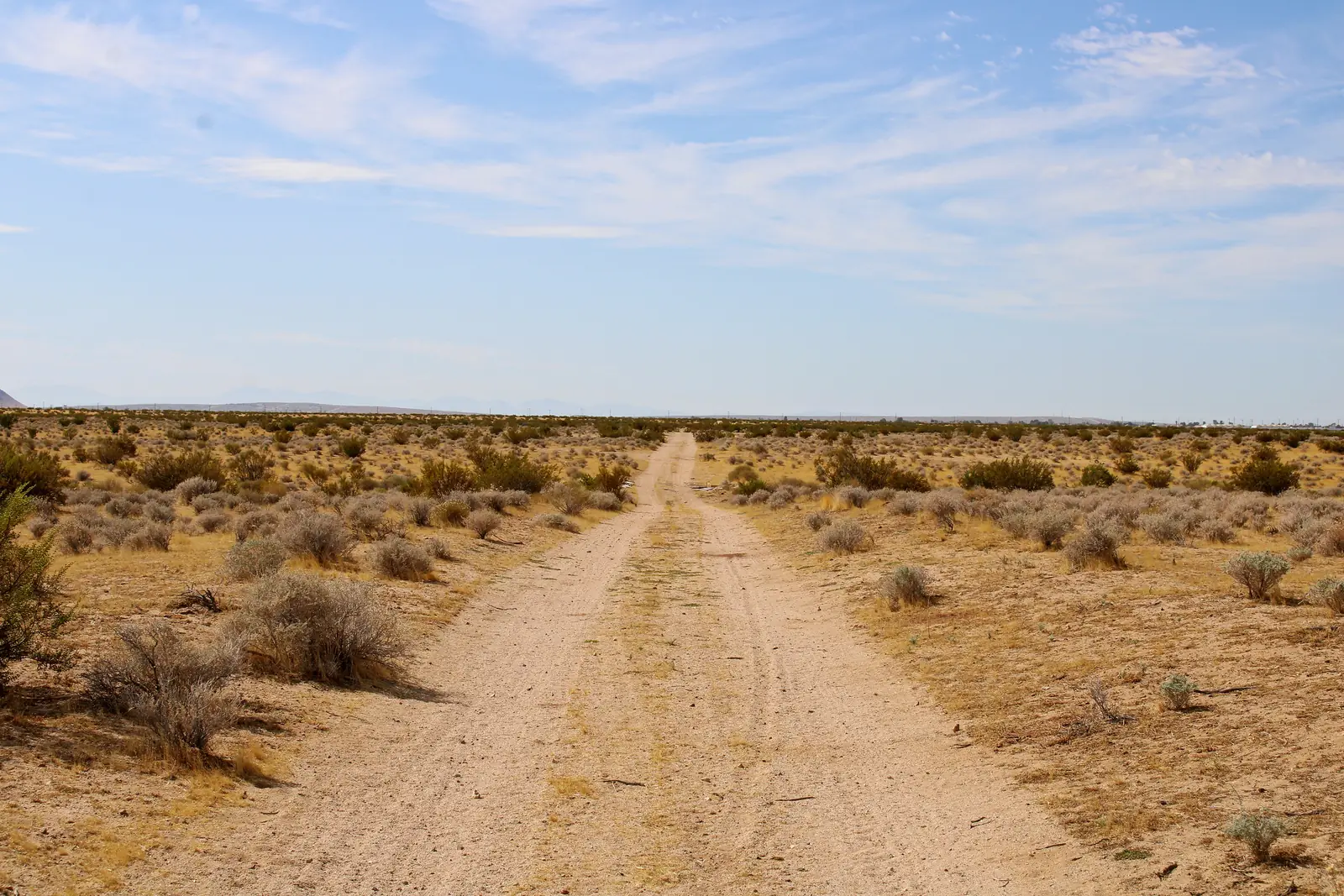
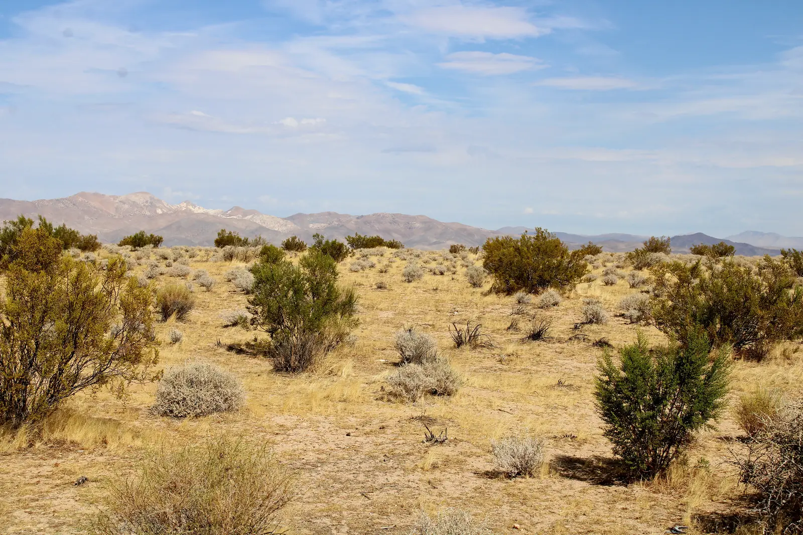
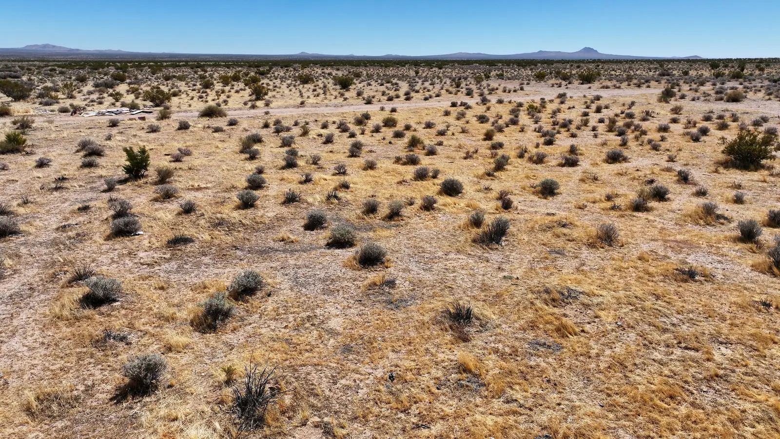
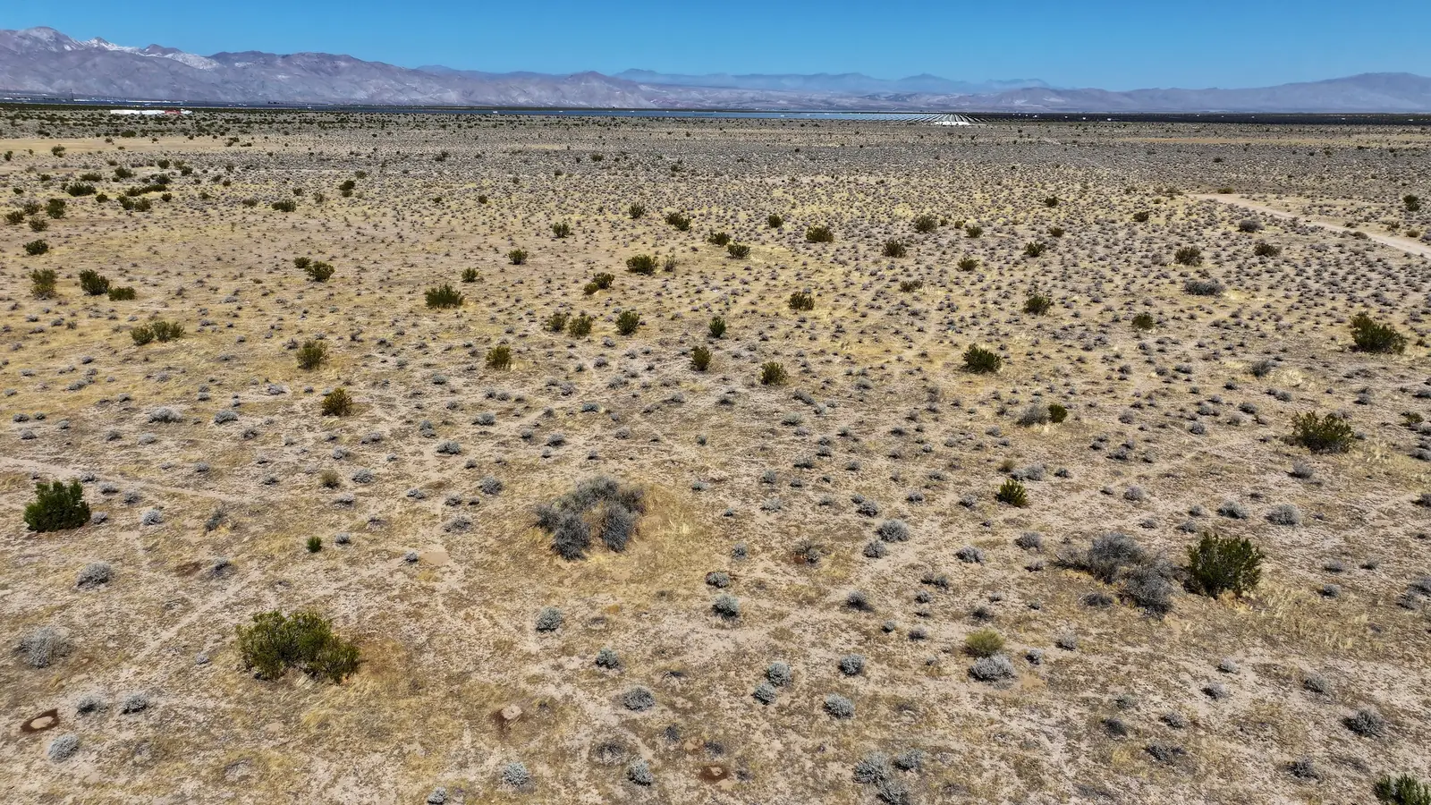
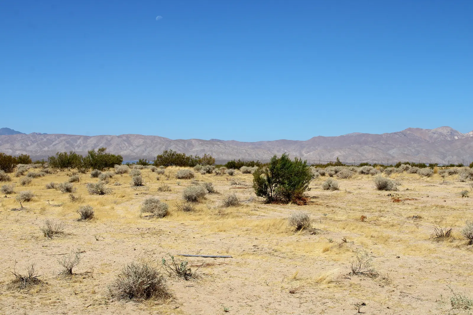
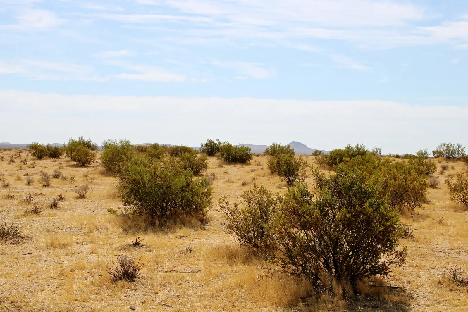
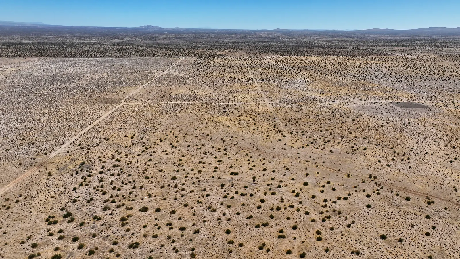
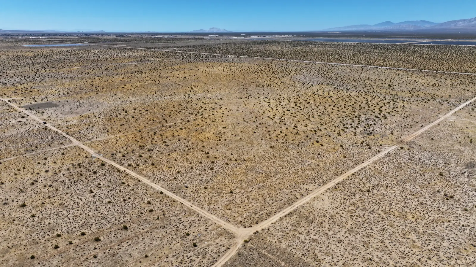
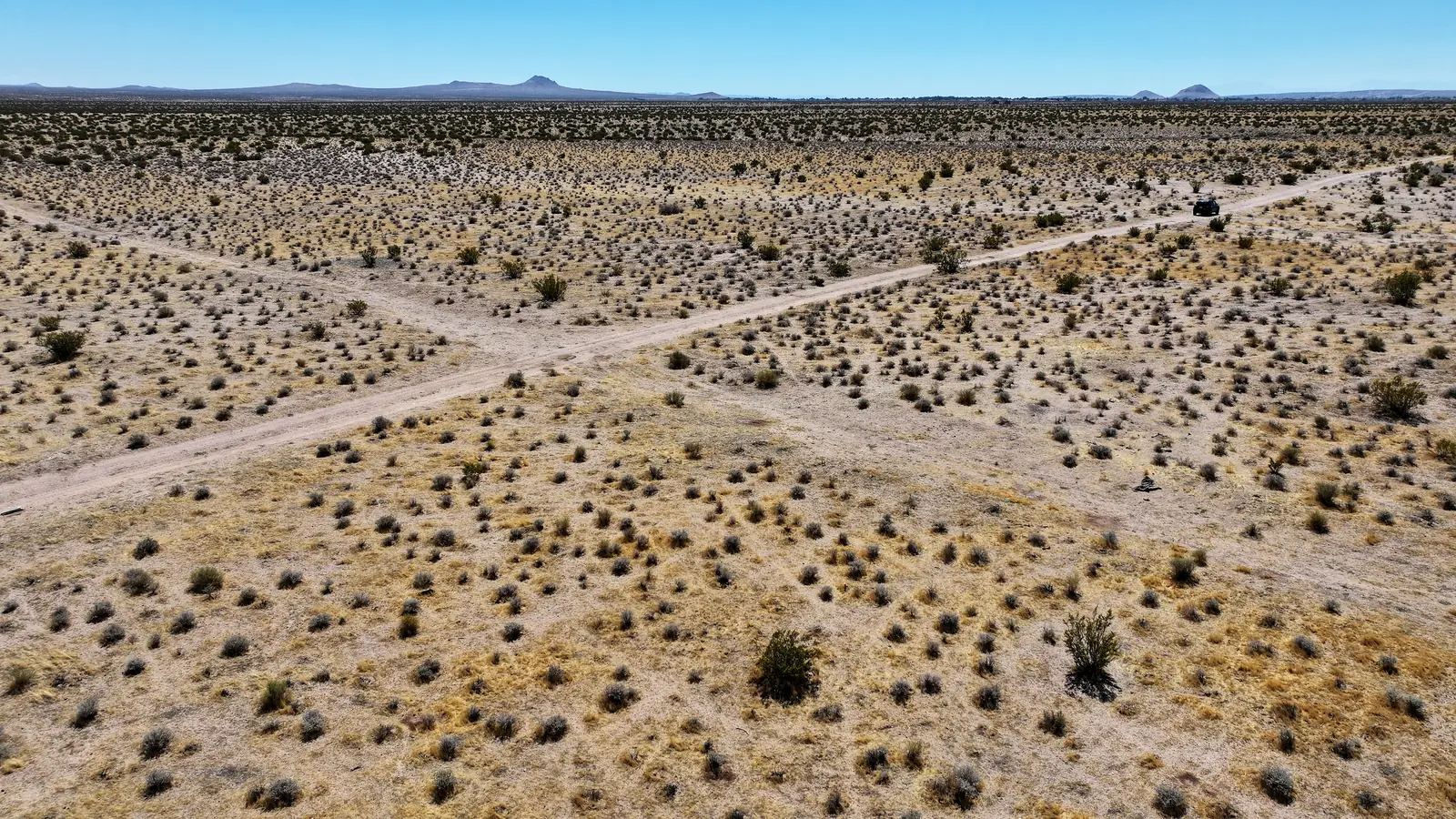
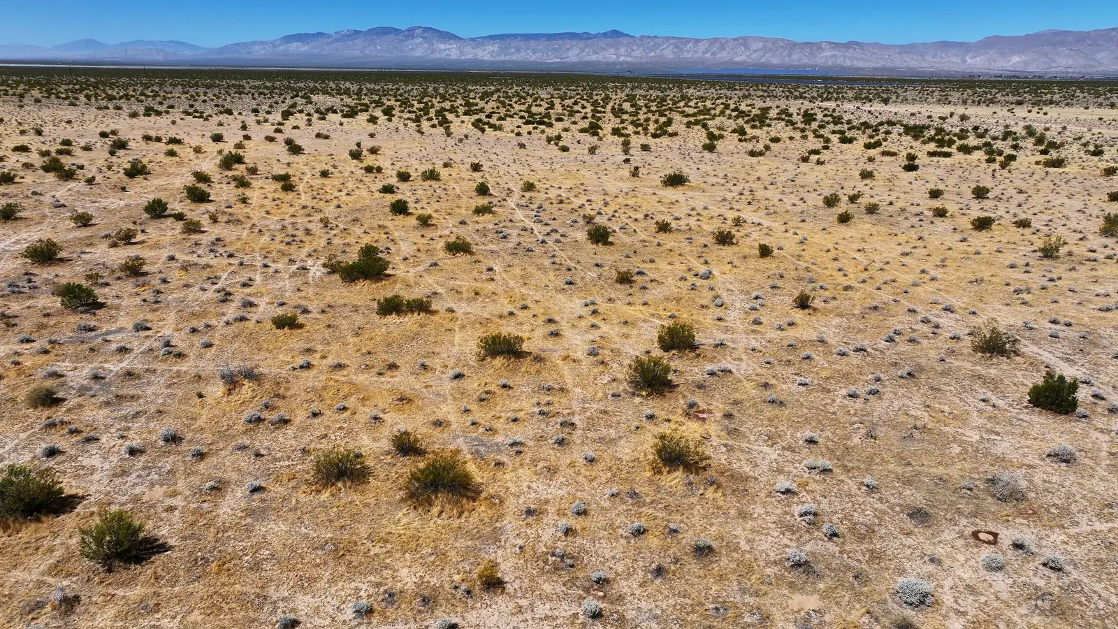
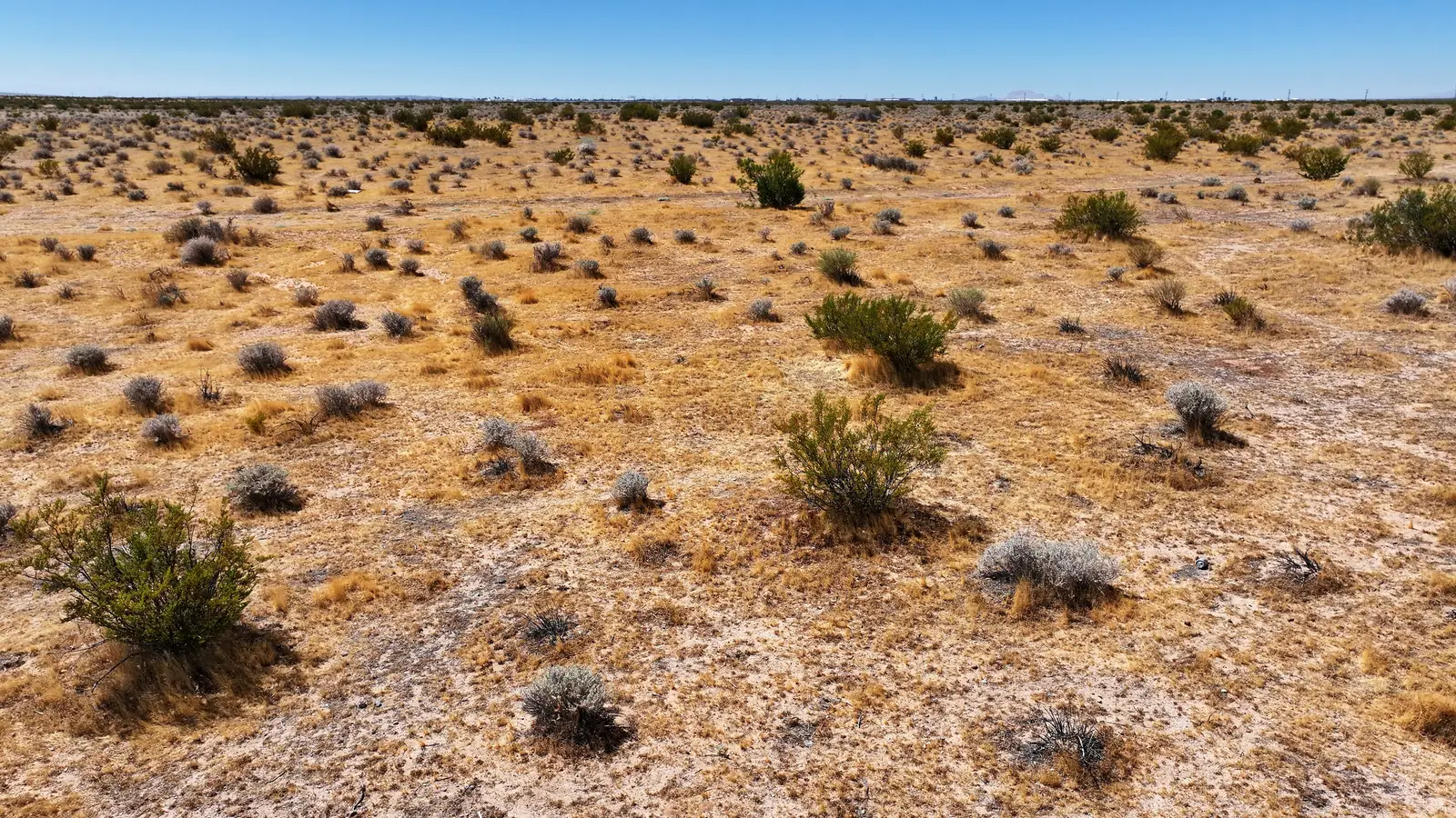
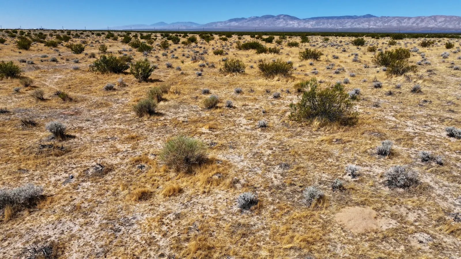
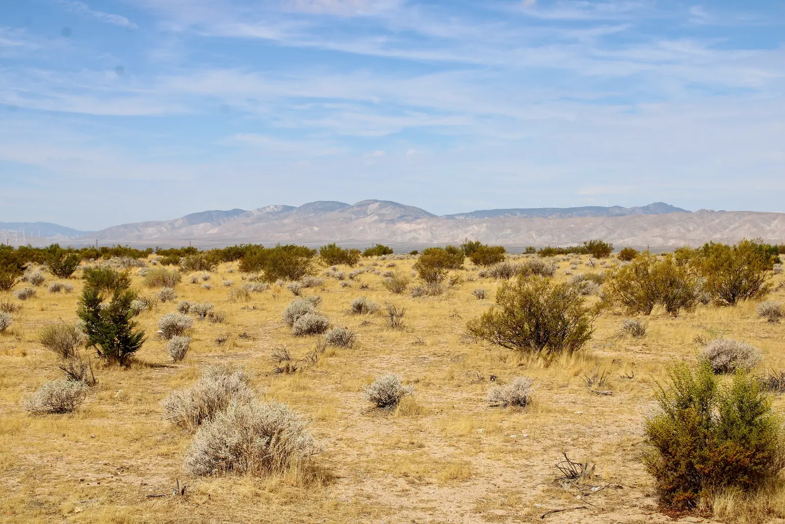
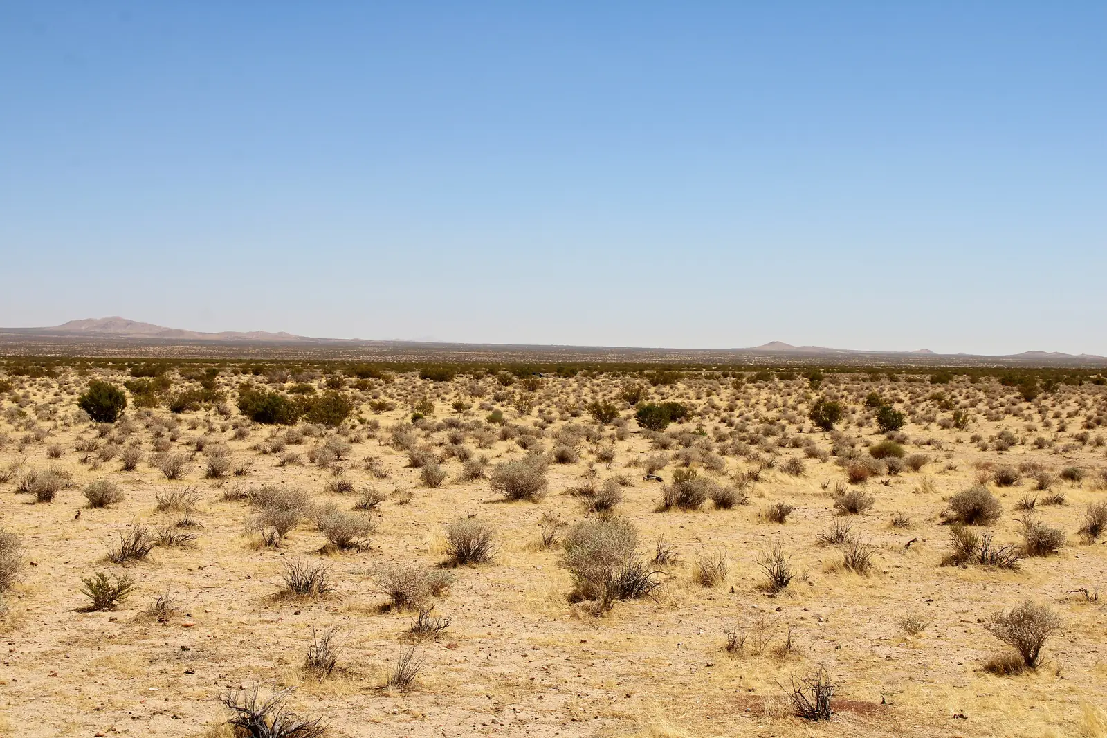
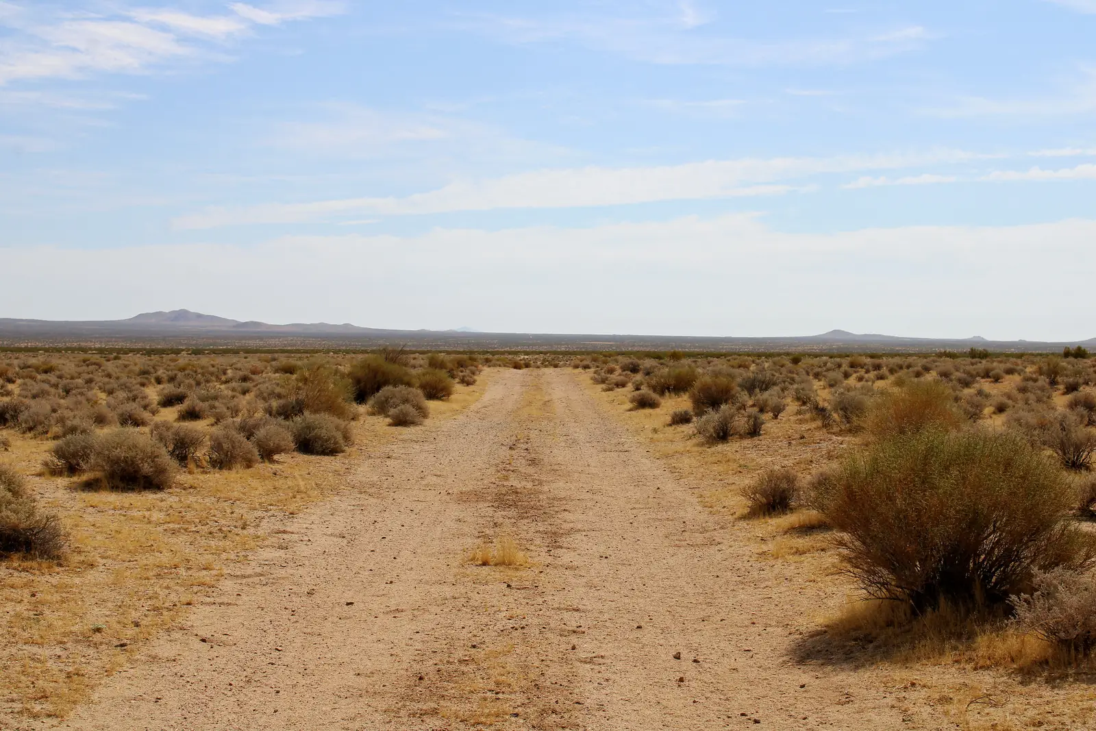
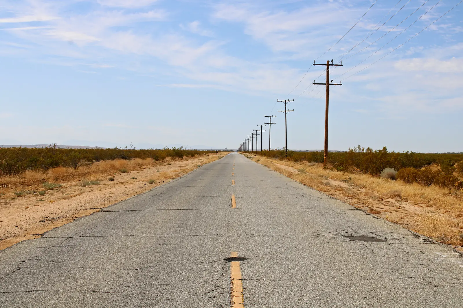
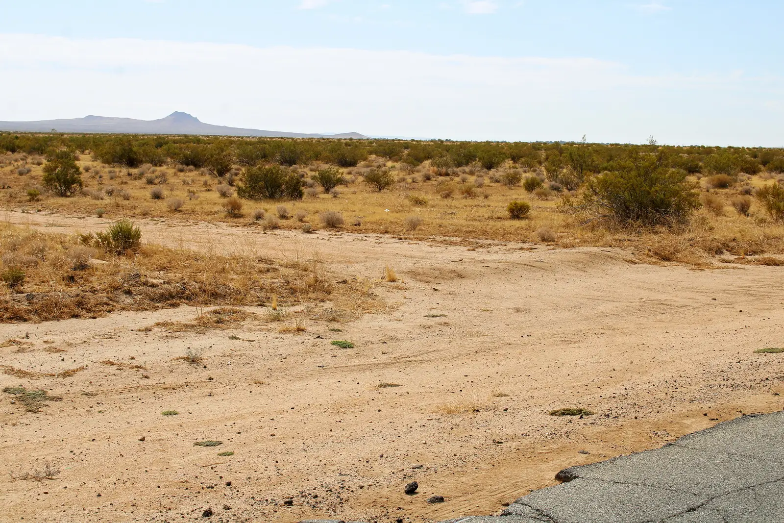
On a computer? Scan this with your phone to open Walk It.
013D flyover
Circle the land from above with the whole boundary drawn in and a pin at each corner. Turn it, tilt it and zoom in. It works on any phone or computer.
02Walk It
Open it on your phone when you’re at the land. It shows where you are against the lines, tells you when you’re inside, and points you to each corner. Tap Camera view and the boundary is drawn on the ground in front of you, with each corner marked.
Save it before the trip and it works with no signal. Your location stays on your phone. Not a survey.
GPS corners
From our parcel map file, not a survey. Paste a point into Google Maps or any GPS app to walk the boundary.
- Northwest corner
35.176848, -117.979830Open in Maps → - Northeast corner
35.176845, -117.976865Open in Maps → - Southeast corner
35.174095, -117.976856Open in Maps → - Southwest corner
35.174096, -117.979808Open in Maps → - Center
35.175473, -117.978339Open in Maps →
The land
The Square at a glance
- Size
- 20.2acres
- Four legal parcels of about 5 acres each, sold together.
- Shape
- 2 × 2parcels
- About 1,000 ft north to south and 885 ft east to west.
- Where
- 3.5miles
- North of California City Boulevard, the town’s main street.
- Elevation
- 2,310ft
- Nearly flat: about 14 ft of fall across the block, under a 1% grade.
- Zoning
- O/RA
- Open Space / Residential Agricultural, City of California City.
- Neighbors
- Two solar projects
- The block sits between two utility-scale solar projects.
- Getting there
- Dirt roads
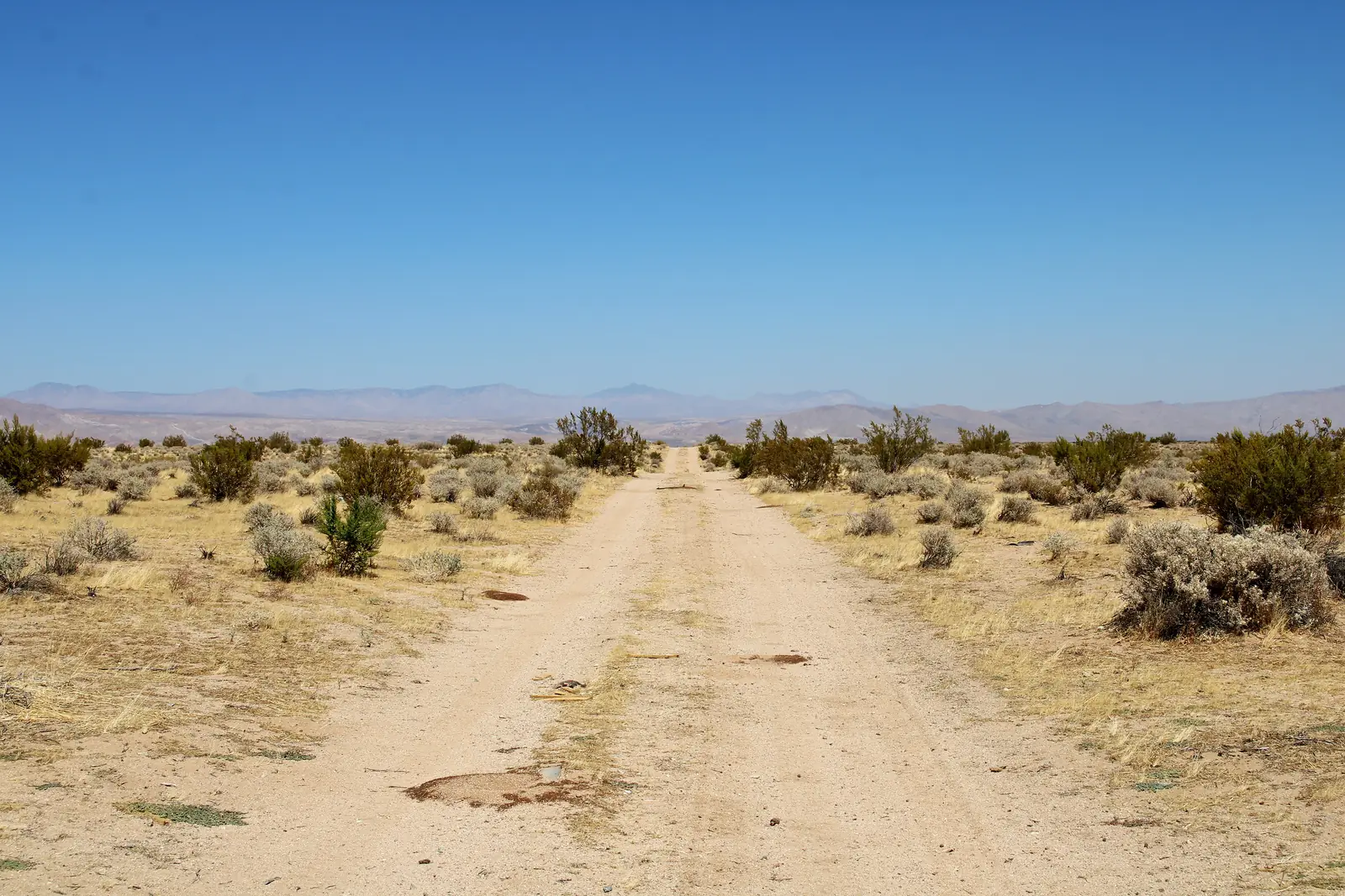
- Off paved Neuralia Road, via McDonald Drive or Batz Street. The dirt roads aren’t maintained by the city or county.
How far to town
Straight-line miles
- The Square
- California City3.5 mi
- Mojave13.6 mi
Price check
Priced under the nearest sales.
$99,000cash
About $4,901 an acre: 11–18% less per acre than the three nearest sales of vacant land.
What you can do
Build, keep horses, or power it with the sun.
Under California City's RA (Residential/Agricultural) code, which the City has amended to cover O/RA land.
By right
- Single-family home
- Manufactured home (HUD-certified, on a foundation)
- Horses & riding stables
- Livestock & poultry (1 large animal per ¼ acre)
- Nurseries & greenhouses
- Farm stand for what you grow here
- Open space & conservation
With a conditional use permit
- Solar & power generation (the City added it for O/RA in 2021)
- Recreational camp or resort (RV sites, glamping)
- Mobile home park
- Equestrian center or riding school
- Planned development
- Outdoor festivals & events
- Golf course
- School, church, club or lodge
- Communication tower
- Utility substation
- Sand & gravel extraction
- Storage container alongside a home
While you build
- Live in an RV on site up to 2 years once you have a building permit
- Motor-home stays up to 30 days with a temporary permit (one 30-day extension)
Blue dot: what this land is made for, or our suggestion.
These uses summarize California City’s zoning code and are not a promise that any use will be approved. Buyer to confirm zoning and any planned use with California City Planning, (760) 338-1377.
Power
None on site yet. Southern California Edison serves the area. Two ways to power it:
Bring in sce
- A power line runs along Neuralia Road, about 1,800 ft west
- SCE credits about $3,084 per home toward the line extension (Rule 15); you pay the rest
- The title report shows an old electric-line easement on the land (California Electric Power Co., now part of SCE)
- Request service: 800-655-4555, or "Request for Power" at sce.com
Go solar
- Off-grid solar and batteries: desert sun averages more than 6 kWh per square meter a day
- Utility-scale solar already operates nearby
Water
None on site yet. Three ways buyers here get water:
Drill a well
- Nearby domestic wells on state record are about 350–635 ft deep
- City wells in the same groundwater basin (Fremont Valley) find water at about 340–500 ft
- Permits from Kern County Environmental Health and the City (City fee $274 + $1,000 deposit)
Haul it
- A storage tank, filled by a state-licensed water hauler
- The City sells construction water through a hydrant meter (about ¾¢ a gallon)
City water
- Ask California City Water about service: (760) 373-8661
- The City is currently waiving connection and impact fees for new homes (2026 fee schedule)
Power and water details come from the providers and public records. Seller makes no promise about utility service, cost or distance. Buyer to confirm with the providers.
How this sale works
How to buy The Square
One cash price: $99,000, through title and escrow. No payment plans.
- Now
Ask
Text Merritt, or ask for the property package. He answers and sends it.
- Then
Agree
Sign a short purchase agreement. One price, all cash.
- 10–14 days
Escrow
Escrow opens at a title company. Your money goes to escrow, never to us.
- Closing
The deed
The deed records in your name, with your owner’s title insurance. Then the 30-day buy-back starts.
Closing costs: we pay for the owner’s title insurance and the county transfer tax, the escrow fee is split 50/50, and you pay the recording fees. Property taxes are prorated to the closing day. For most buyers, closing costs come to under $1,000.
The 30-day buy-back: not happy within 30 days of closing, for any reason? We’ll buy it back for the price you paid, through escrow, less the buy-back’s closing costs. The details.
Get the property package
Emailed to you, with the parcel map, the APN details and the film.
Buyer to independently verify zoning and permitted uses, legal and physical access, water and utility availability, easements, environmental conditions, and all other matters material to the purchase. Acreage is from the county map and boundary coordinates; it is not a survey. Distances are straight-line. Information is believed accurate but is not guaranteed. The price and the offering may change, or the parcel may sell, without notice.